
MOUNT PARK GUEST FARM & TRAILS
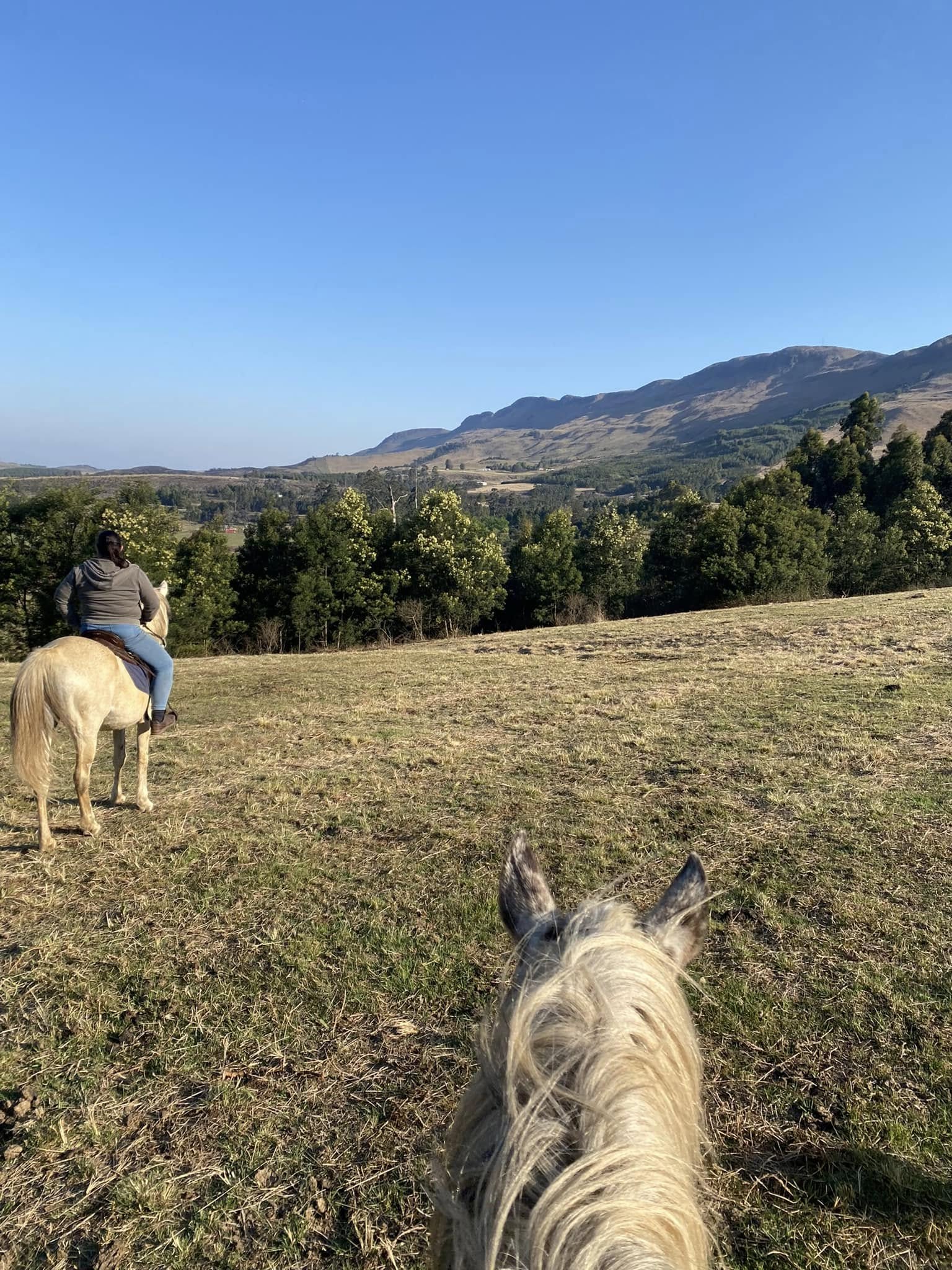
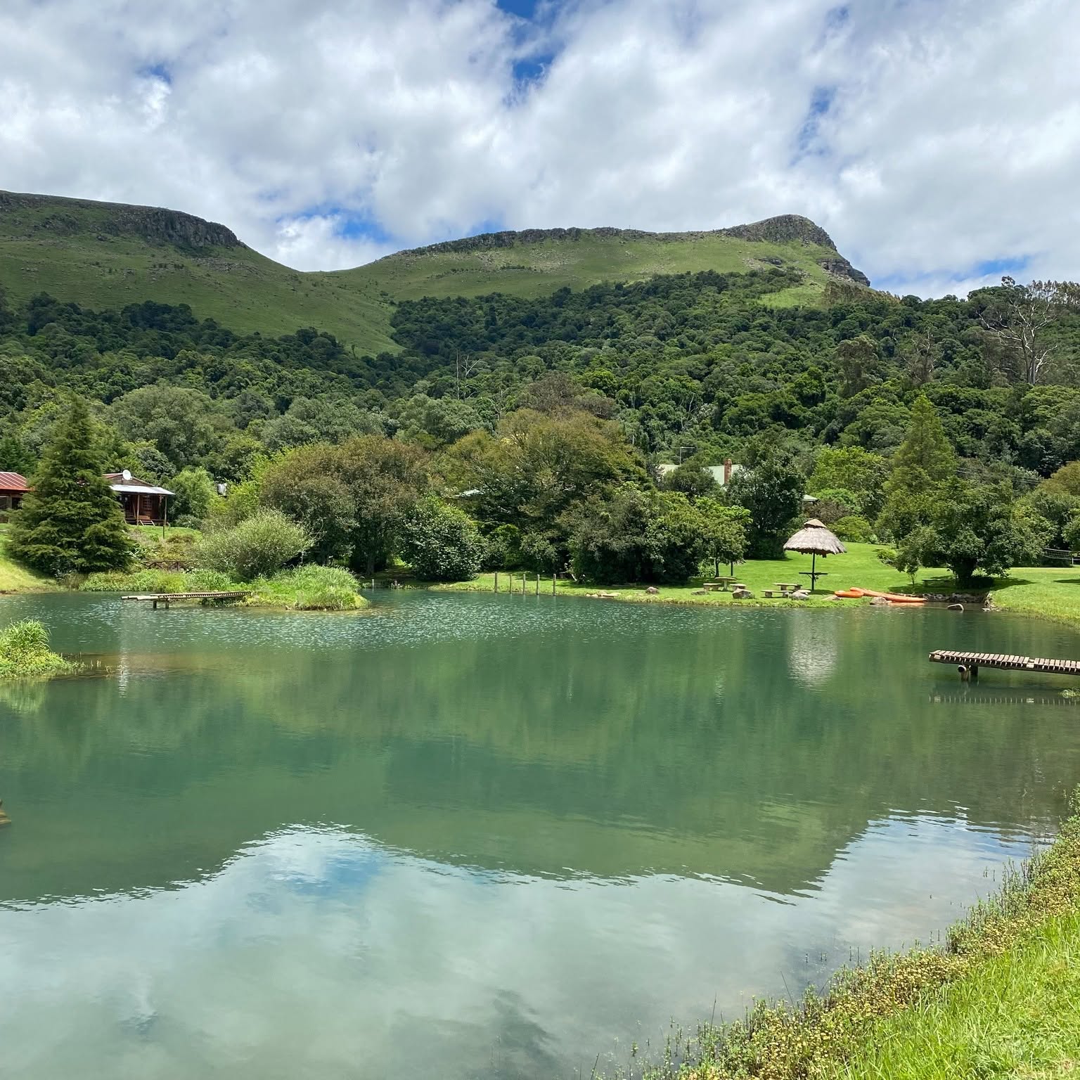
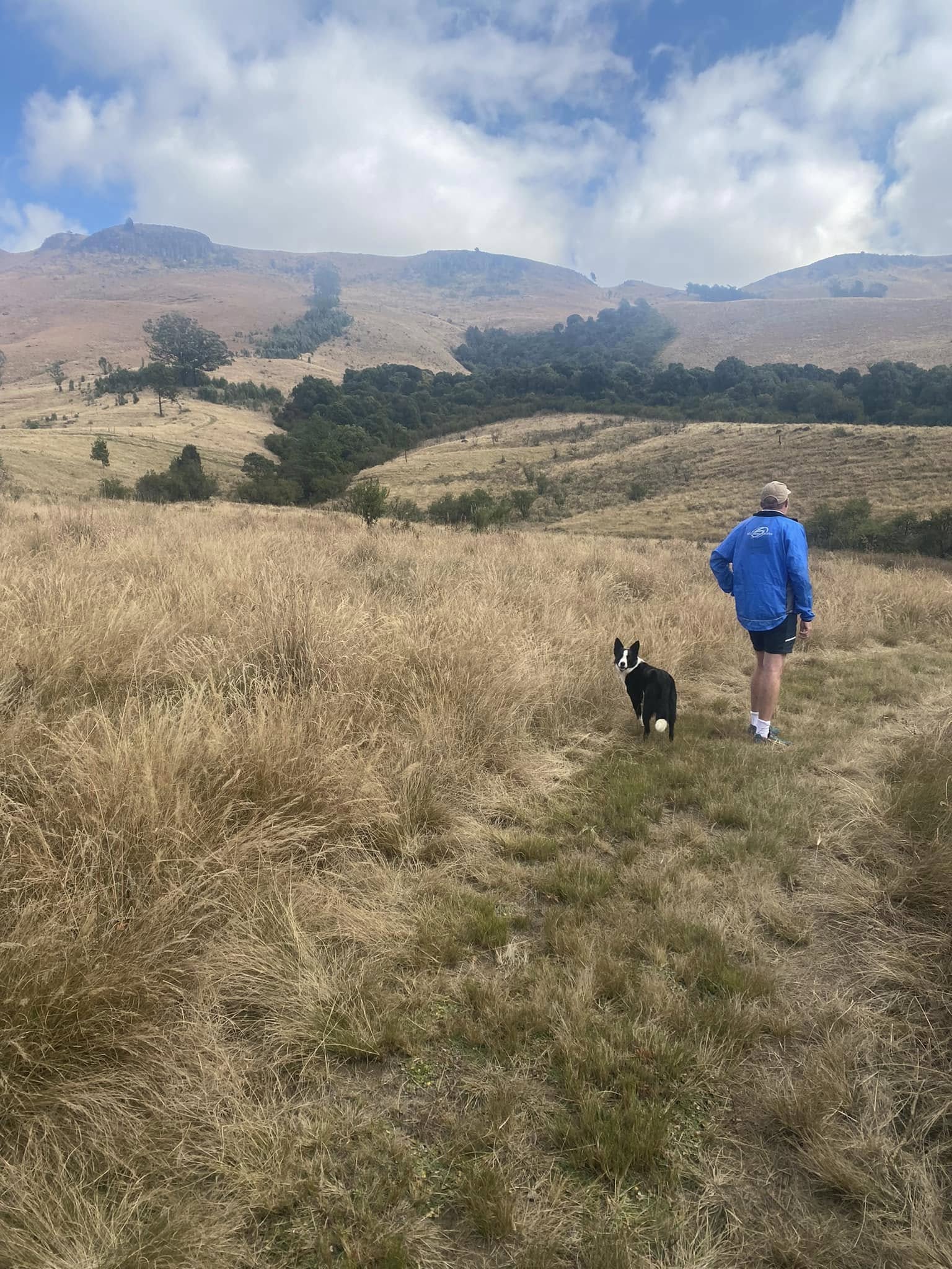
Mount Park Guest Farm is situated in the exquisite Upper Dargle region of the KZN Midlands, at the foot of the majestic iNhlosane Mountain, close to Howick.
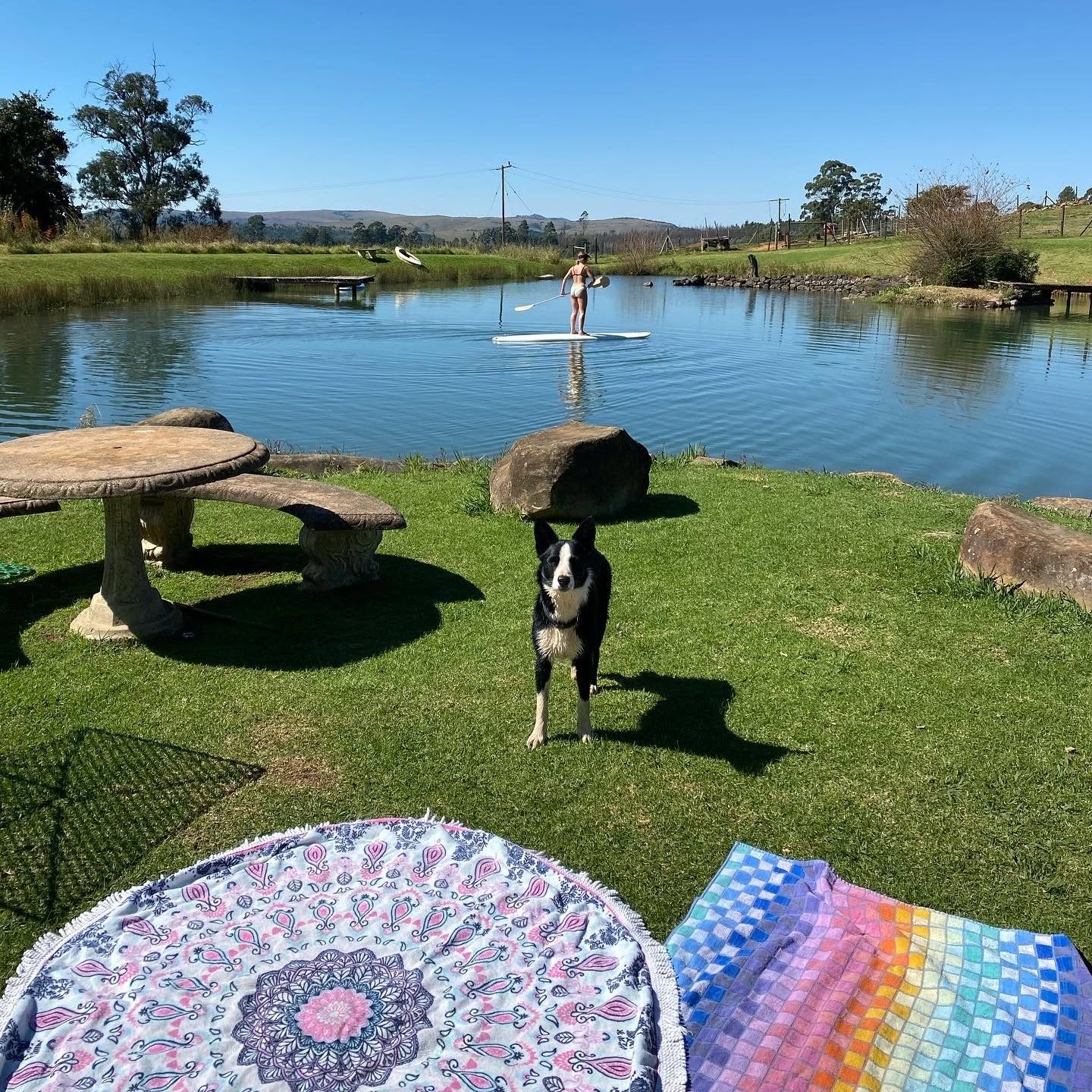
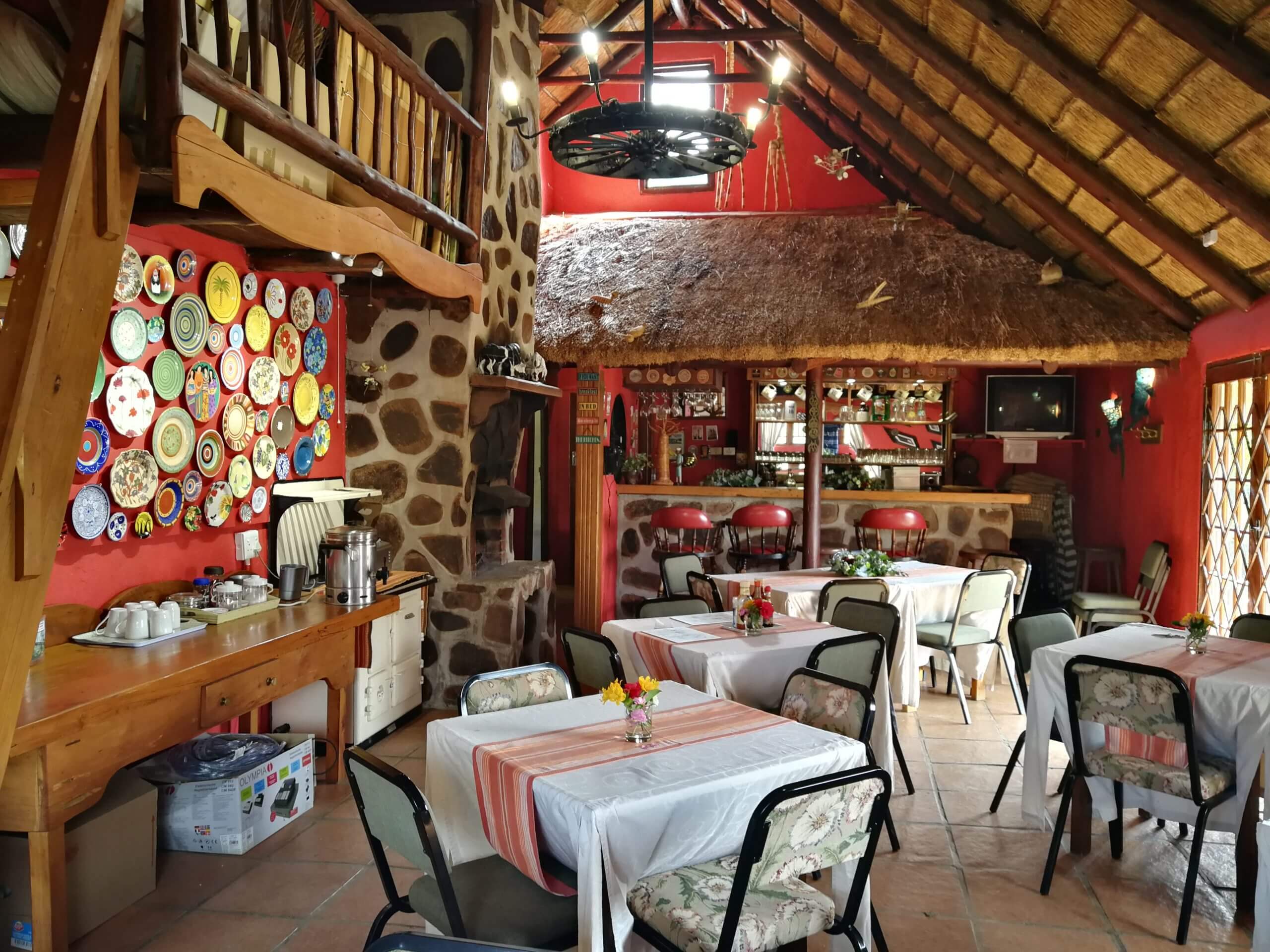
You will find good old-fashioned hospitality, an on-site restaurant, and our own little shop to make sure you are as comfortable and relaxed throughout your stay. WE ARE PET FRIENDLY.
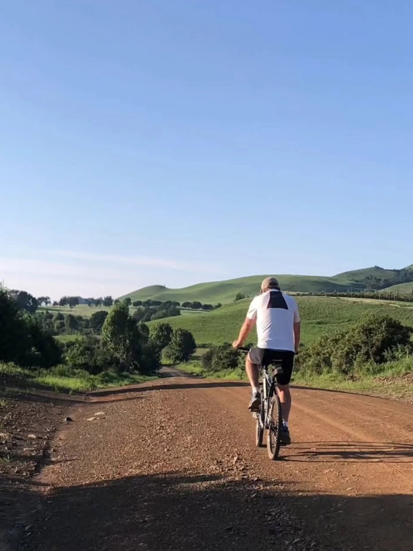
Together with a whole bunch of activities to do on the farm, we are beautifully situated on the famous Midlands Meander giving you access to everything from wine tasting to kart racing, fine dining to historical tours, to zip lining and mountain biking


ACCOMMODATION:
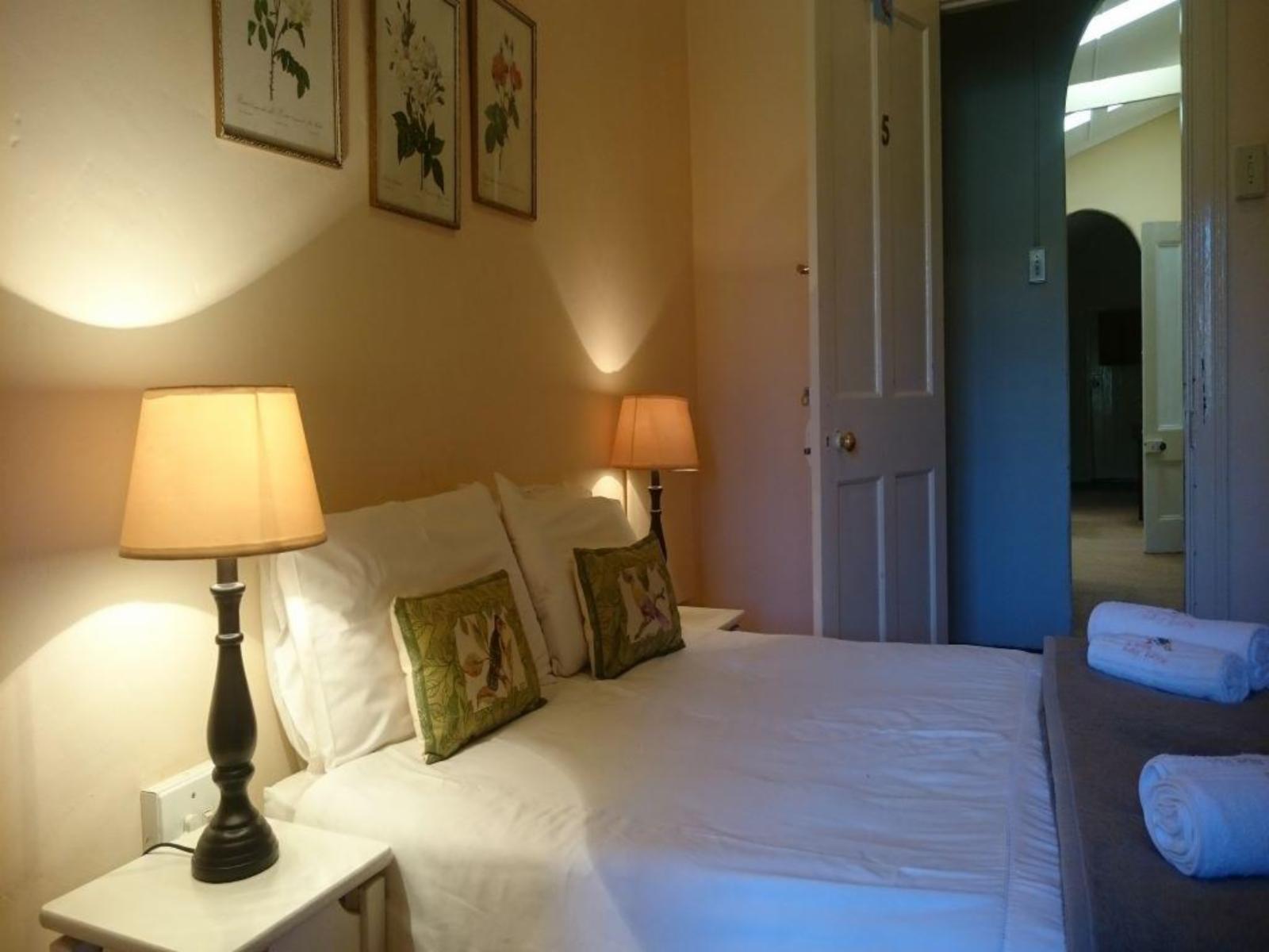
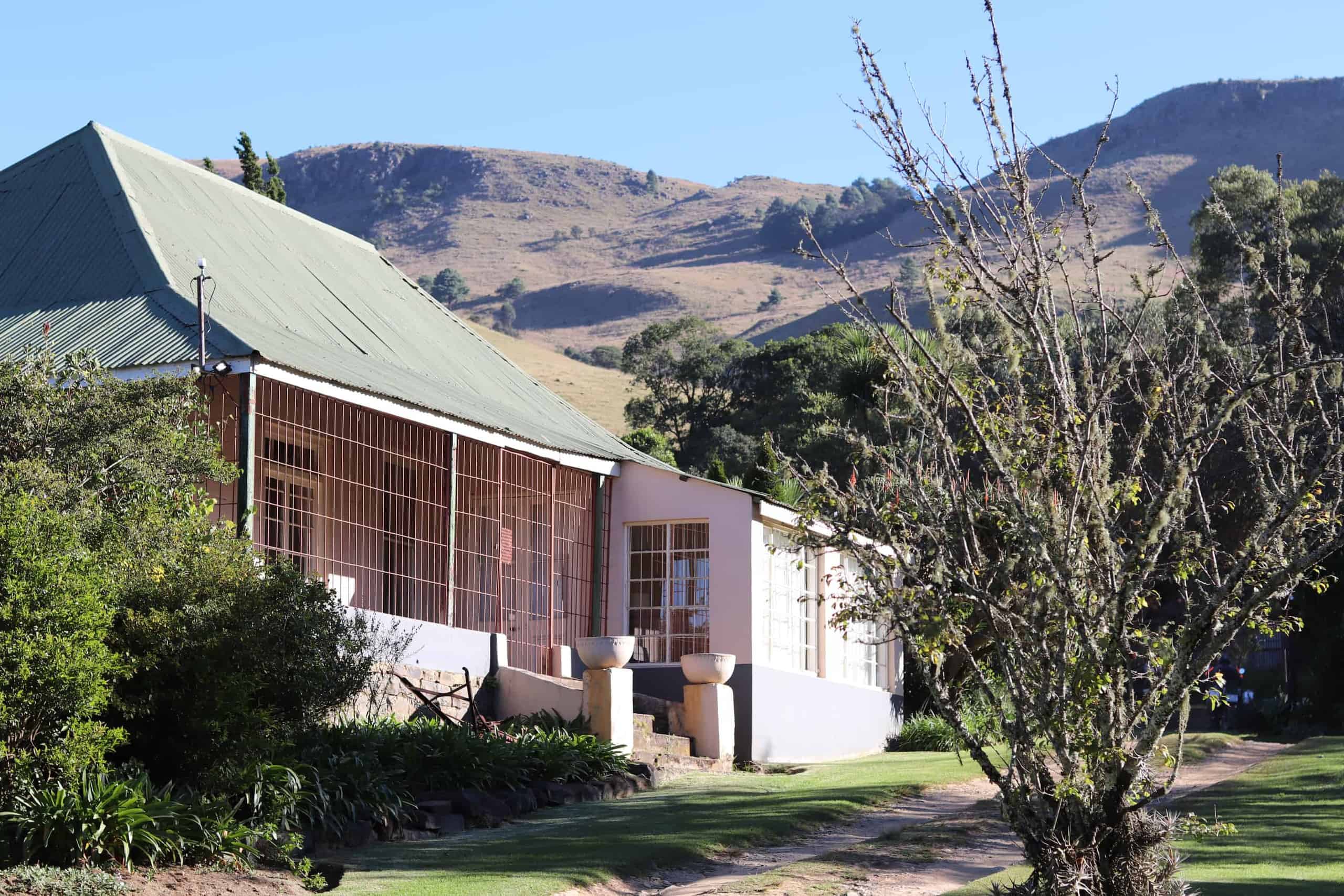
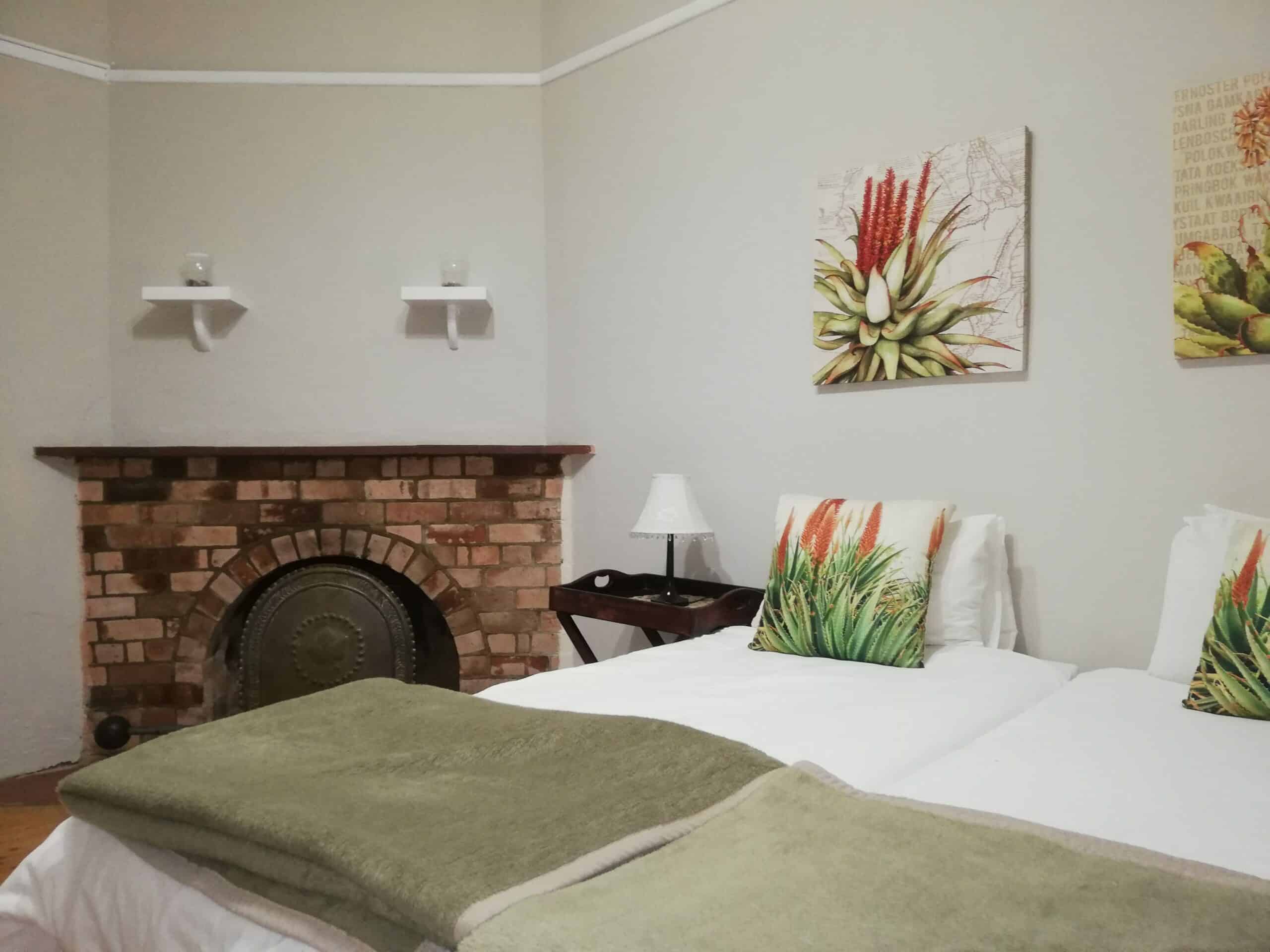
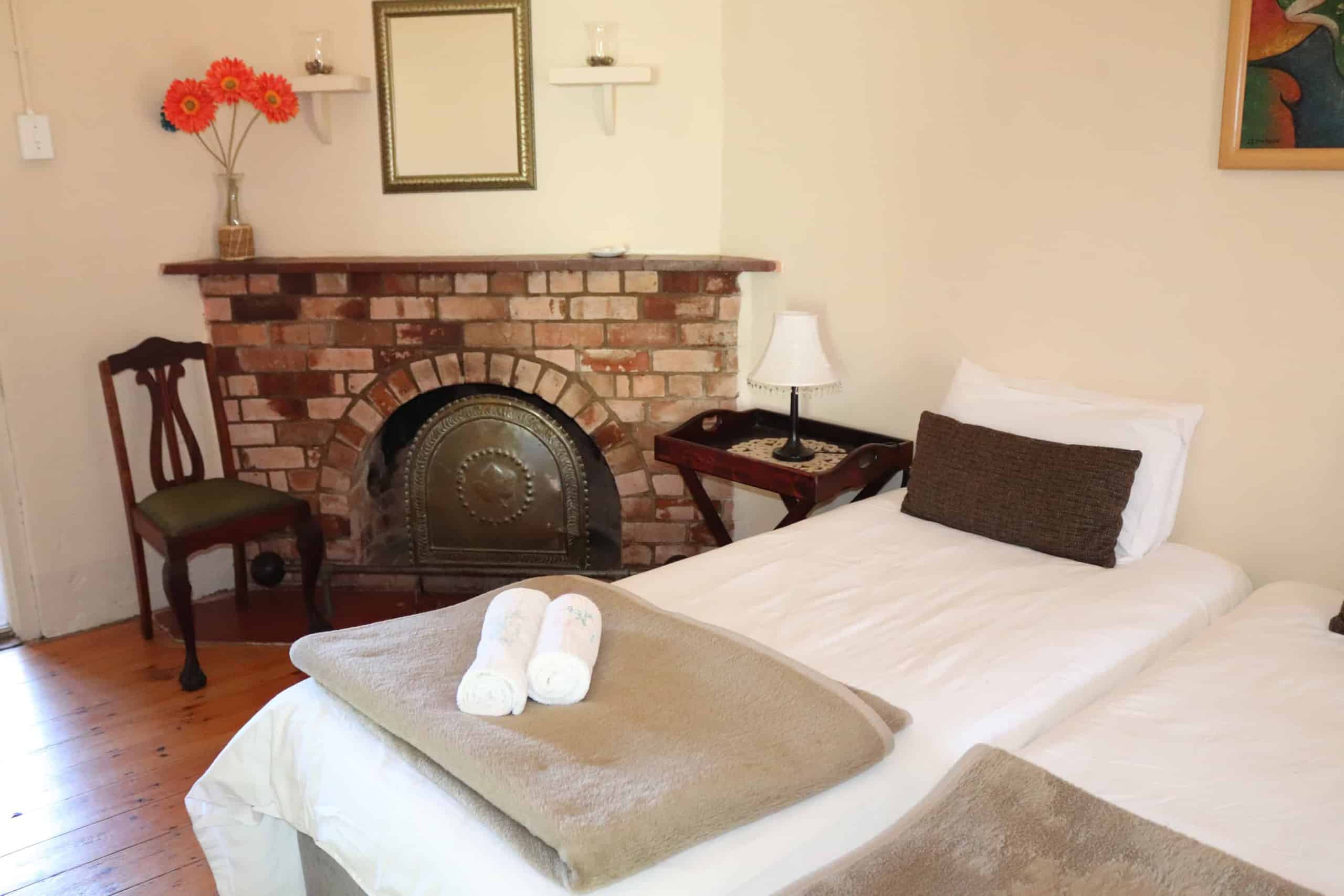
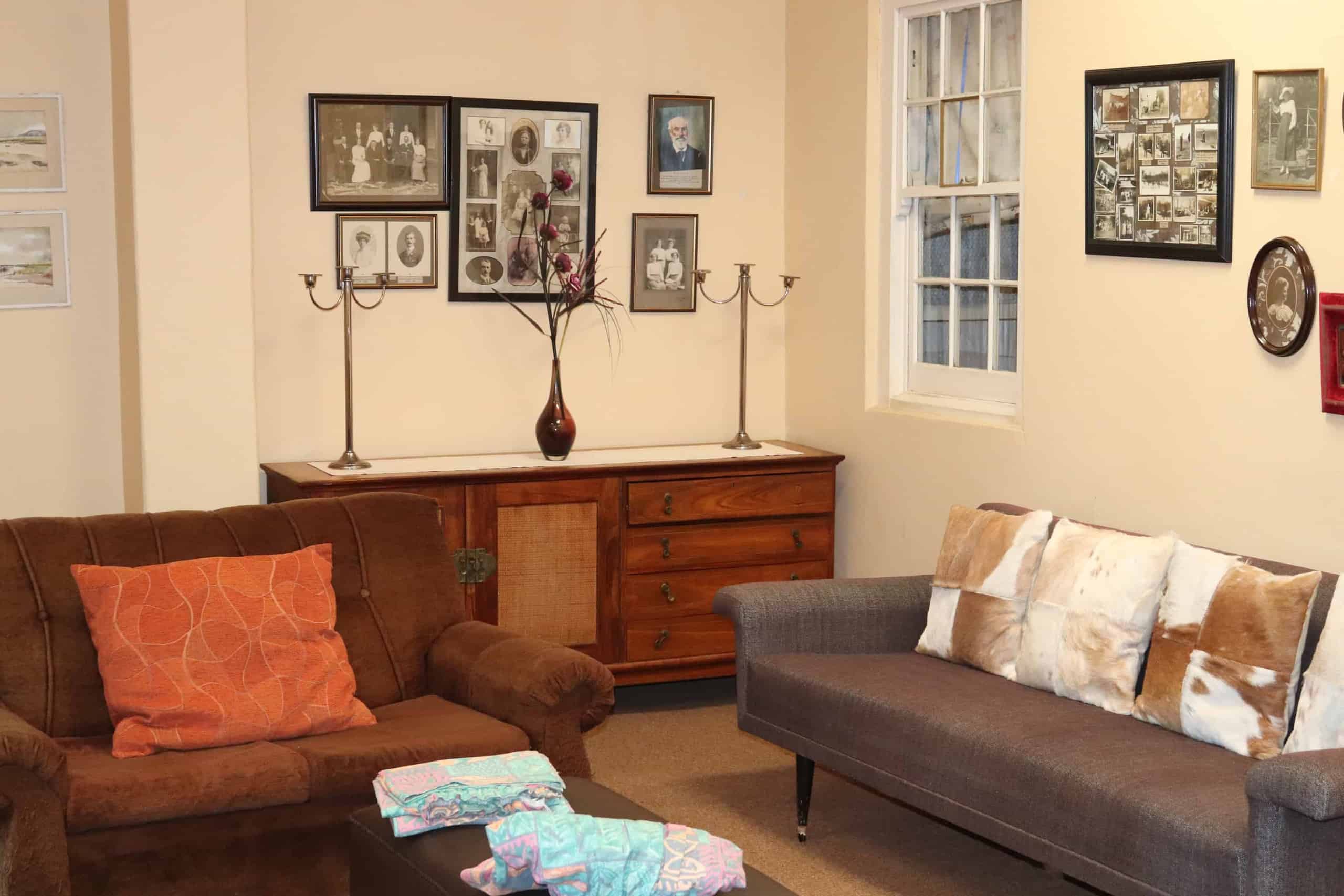
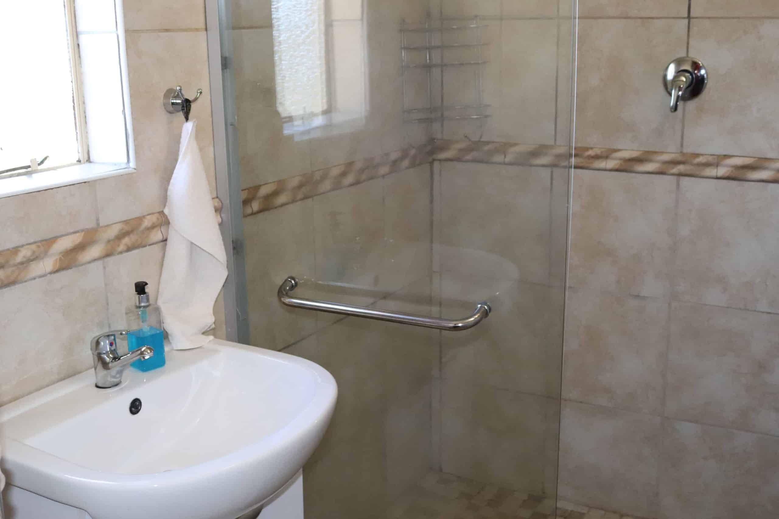
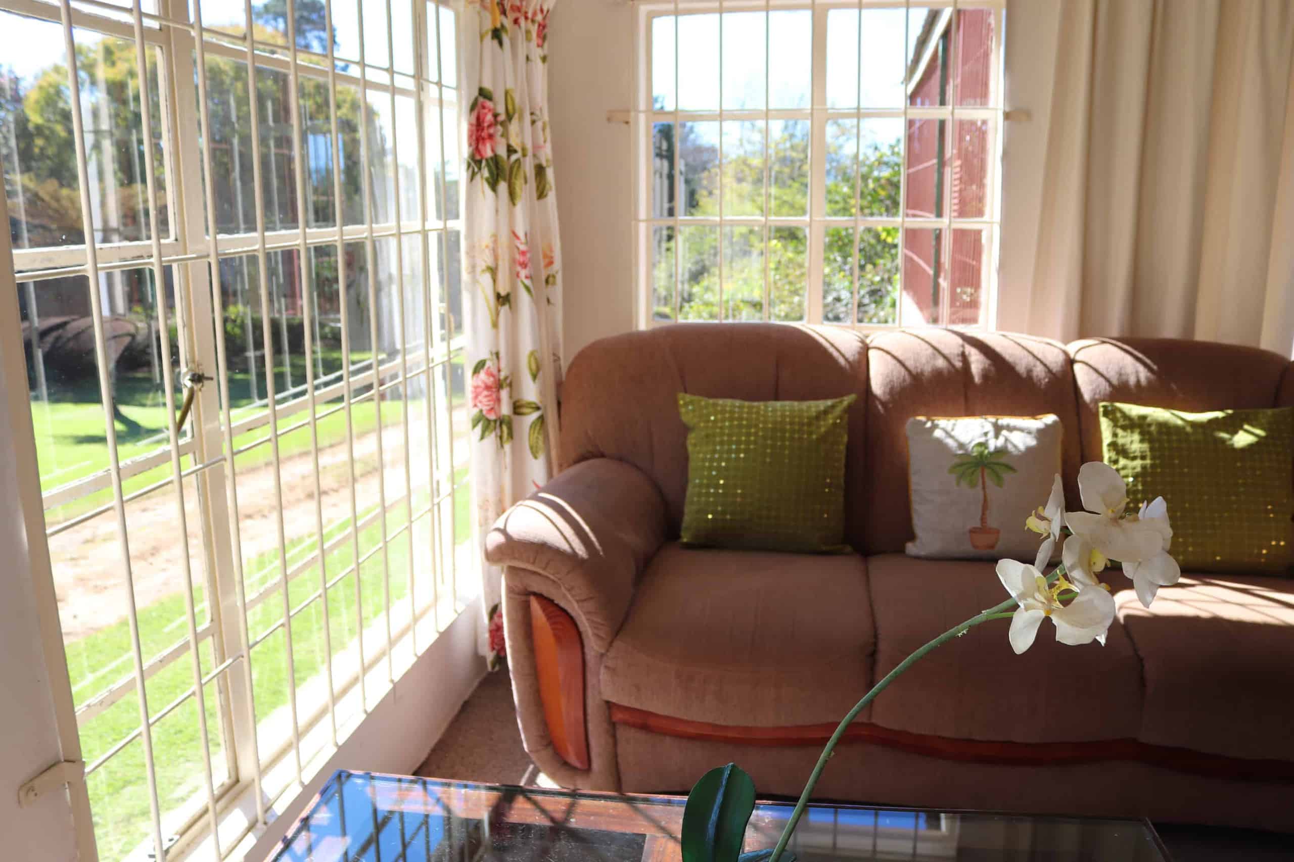
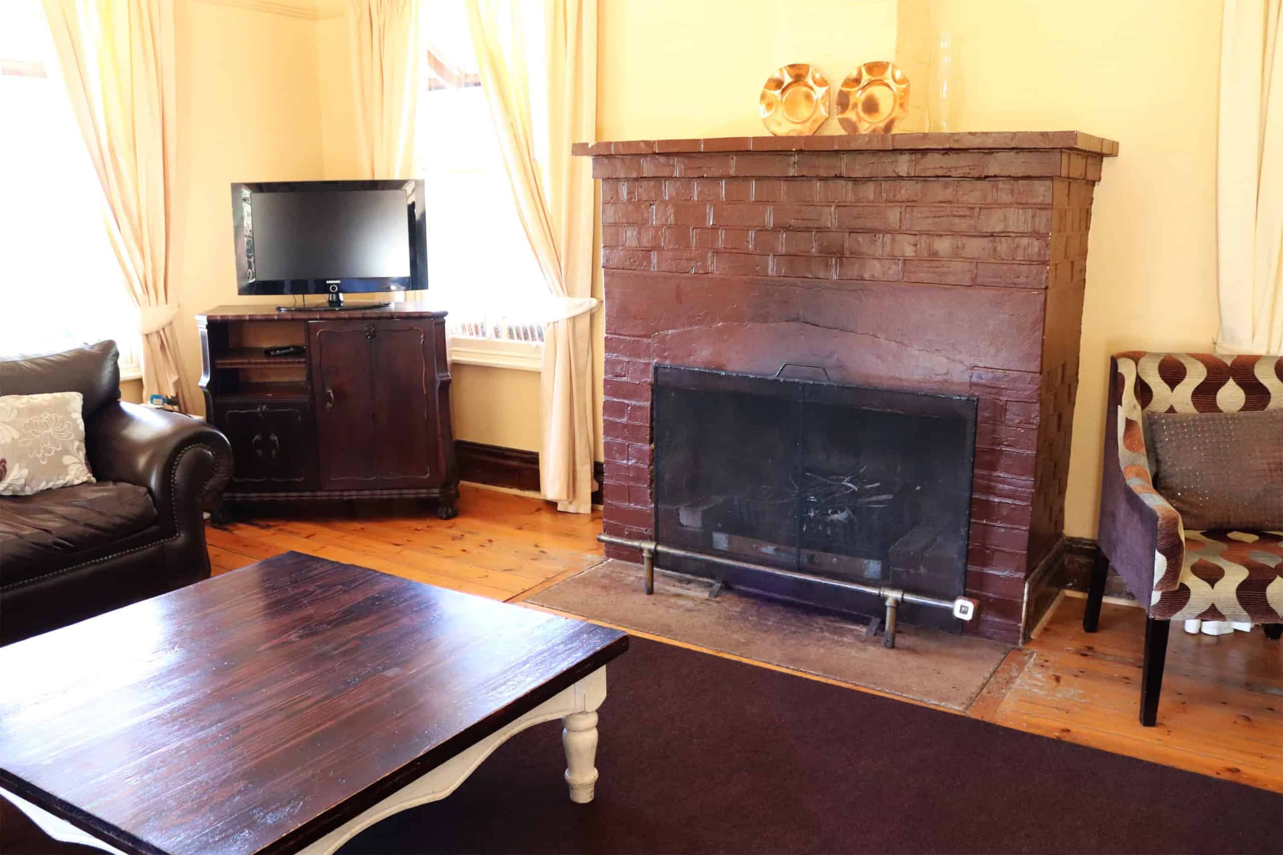
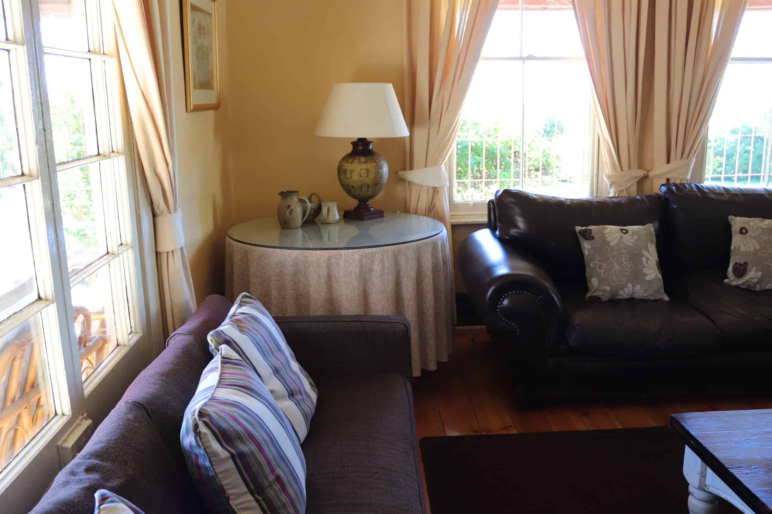
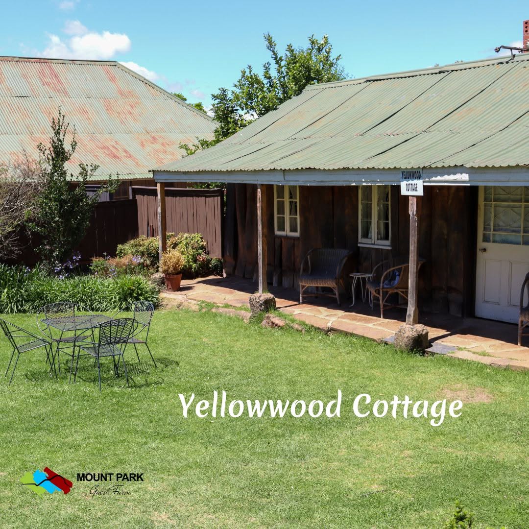
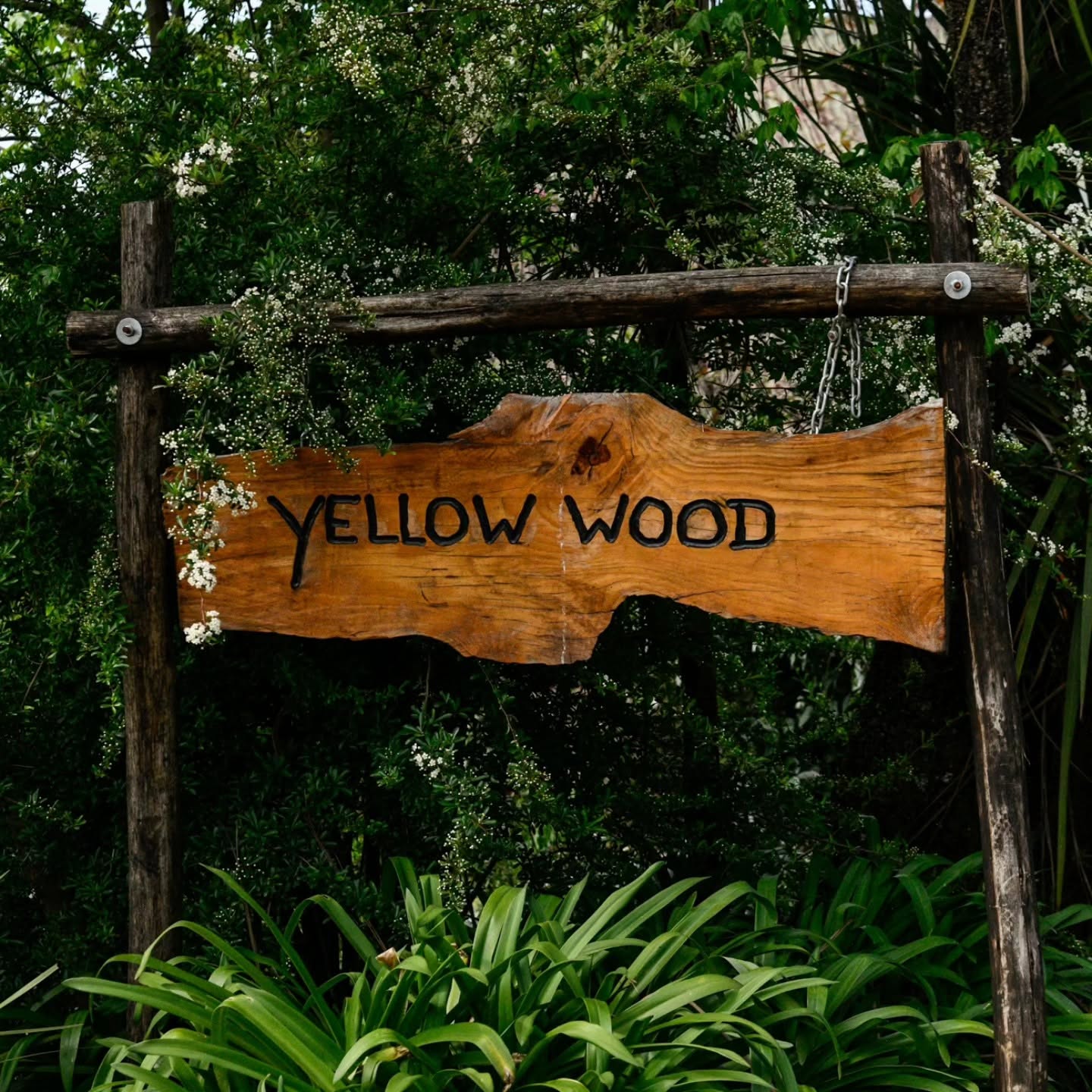
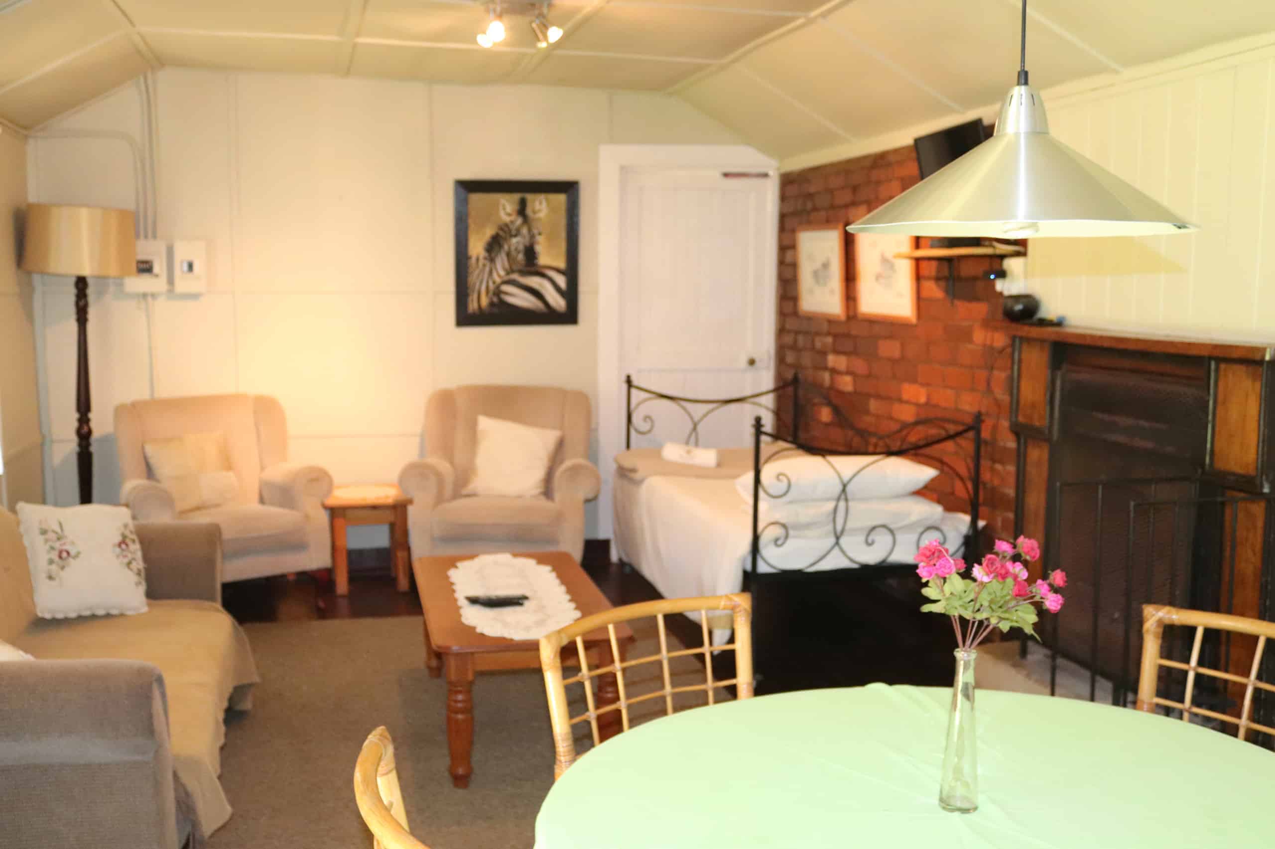
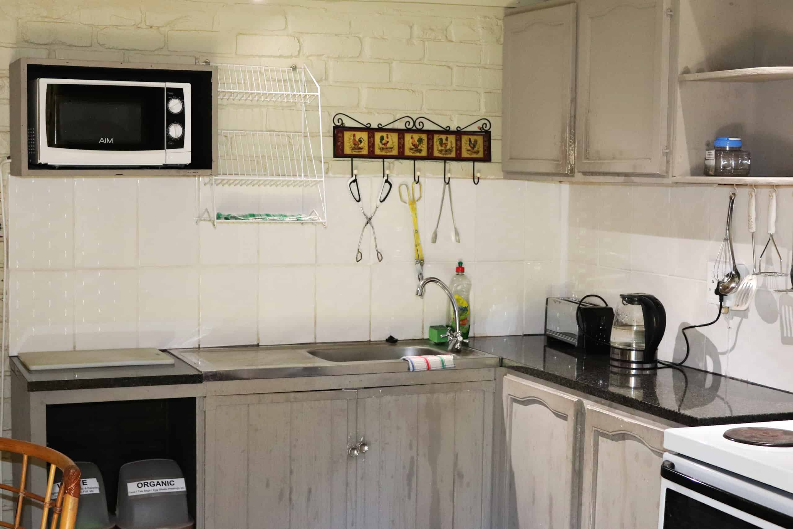

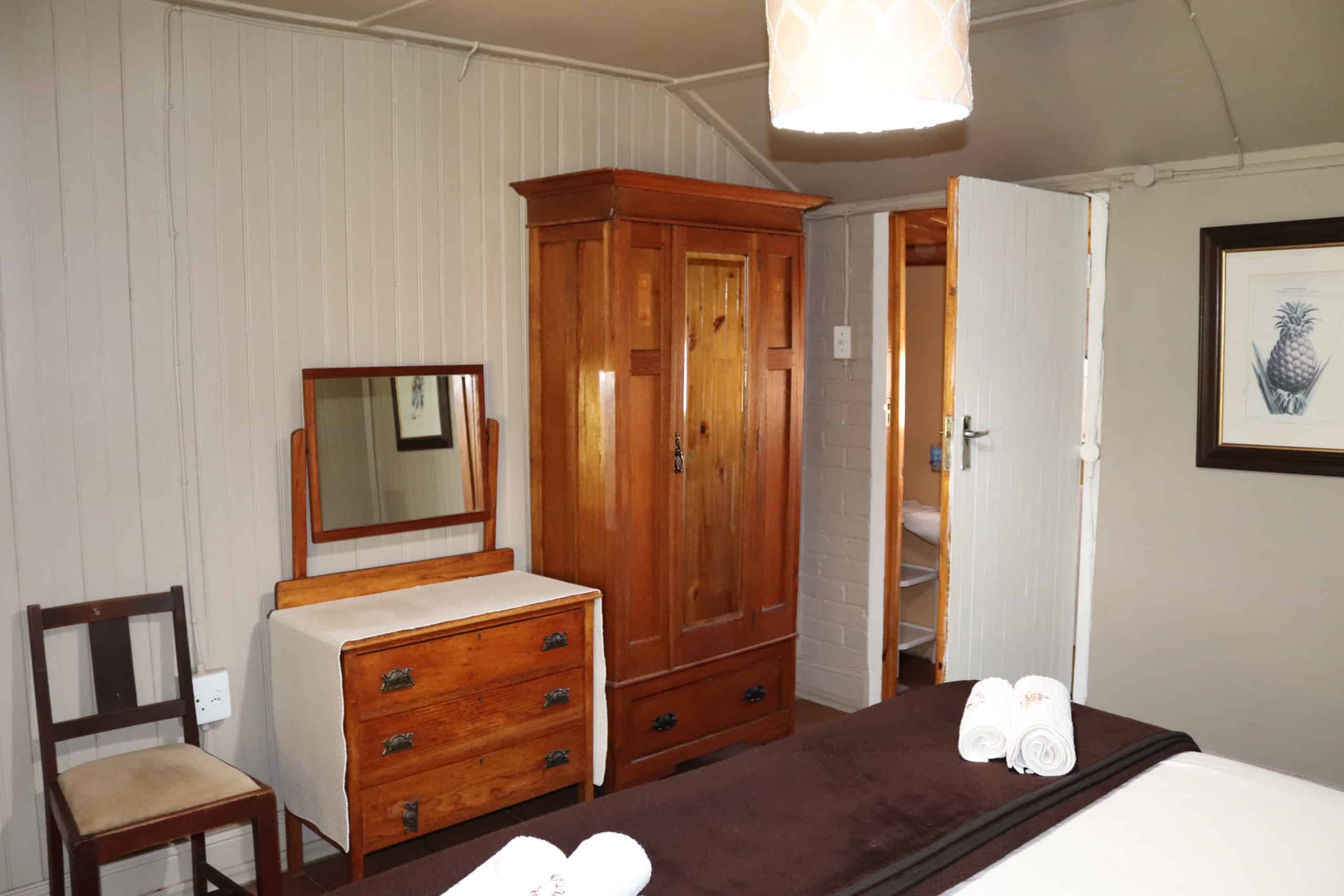
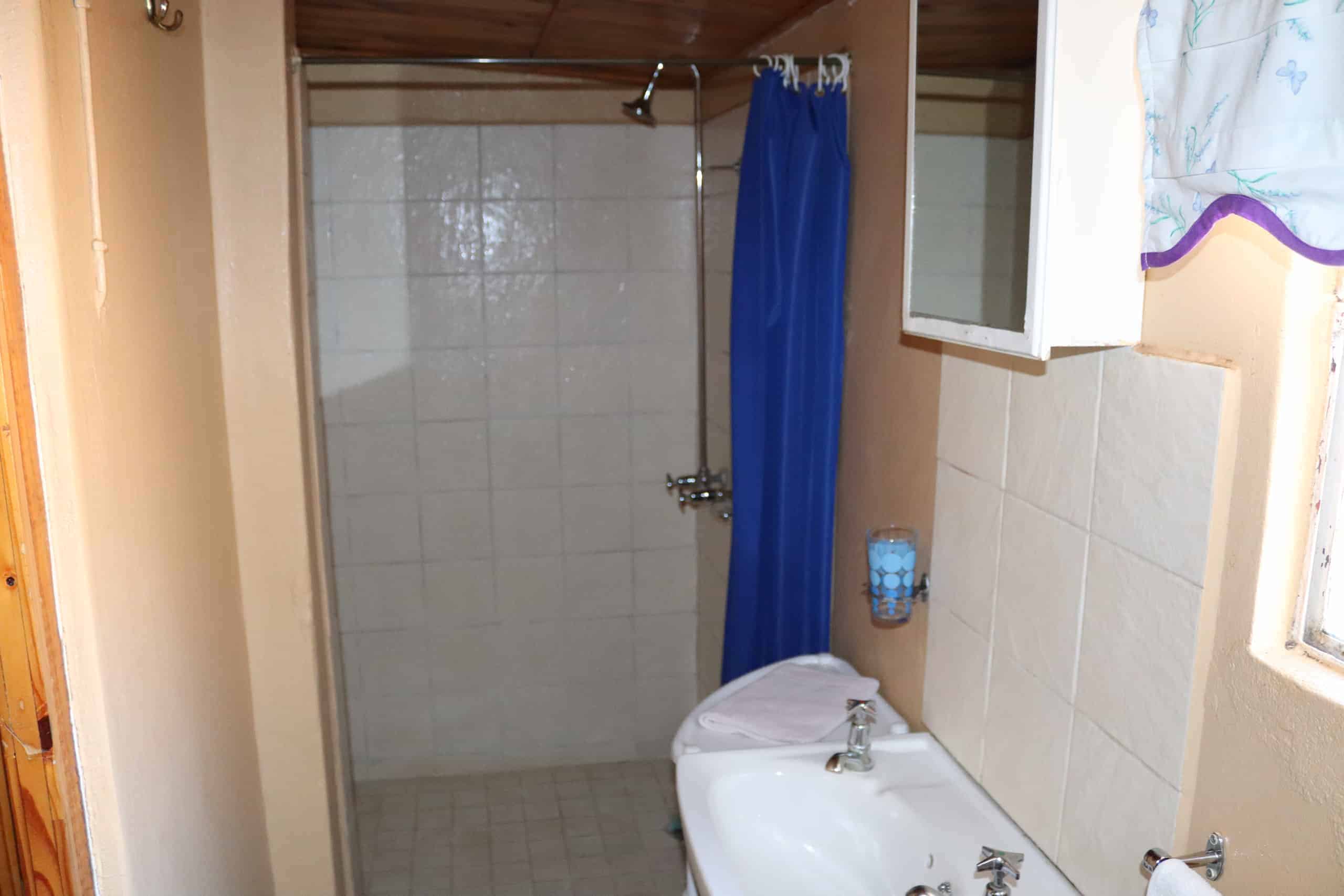
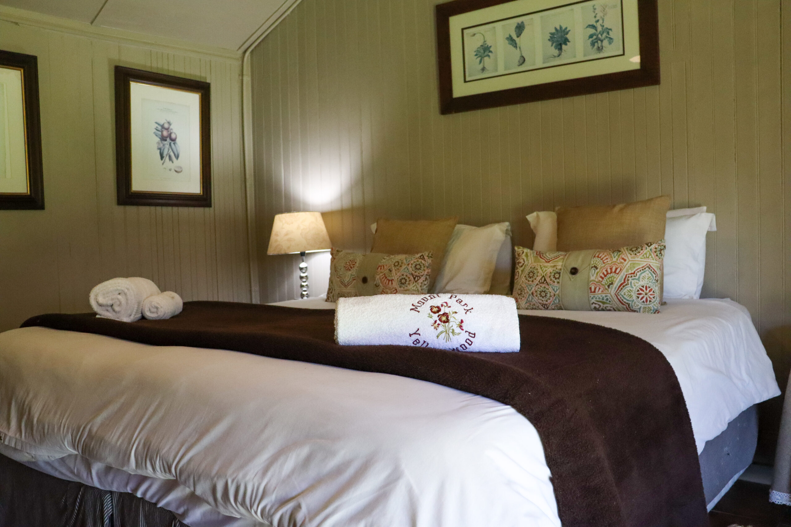
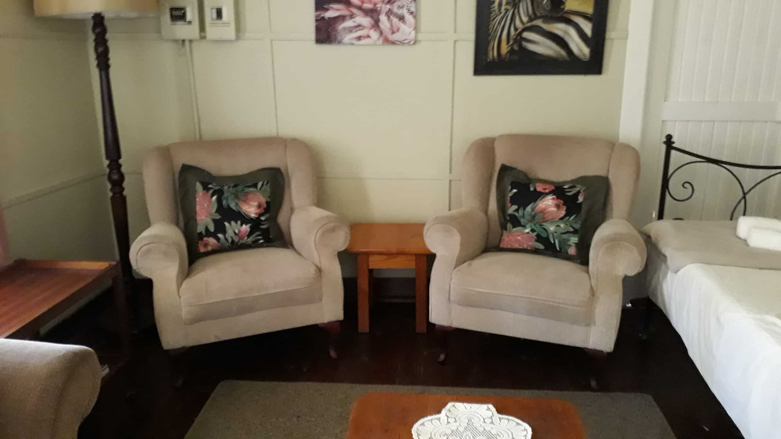
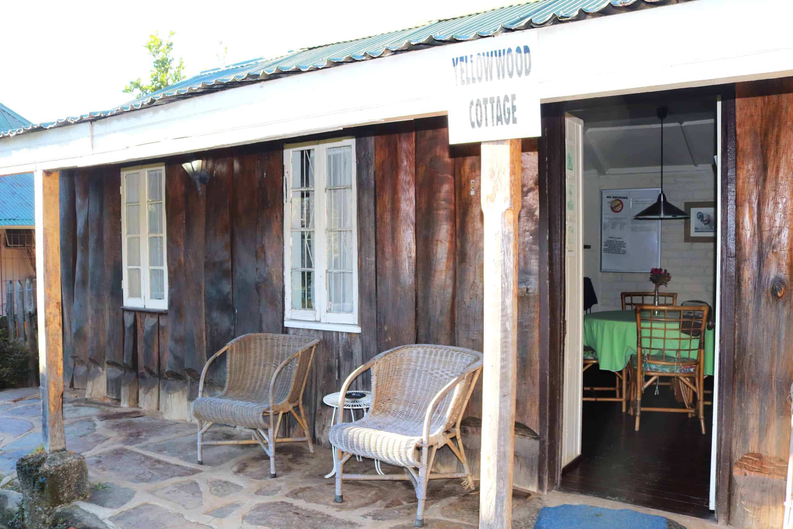
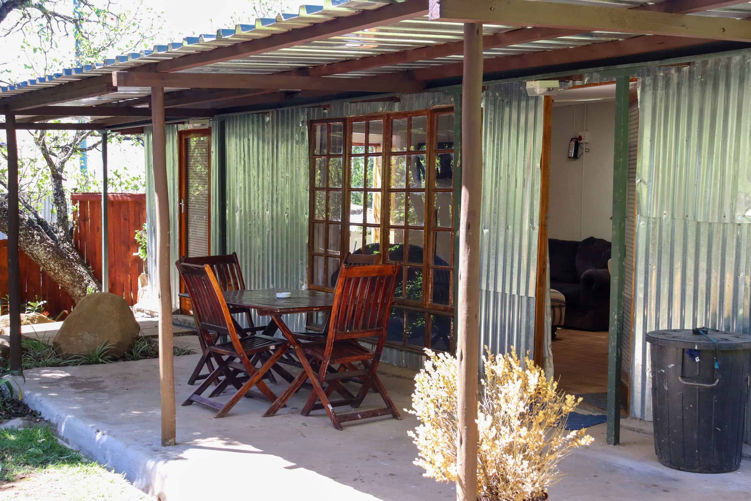

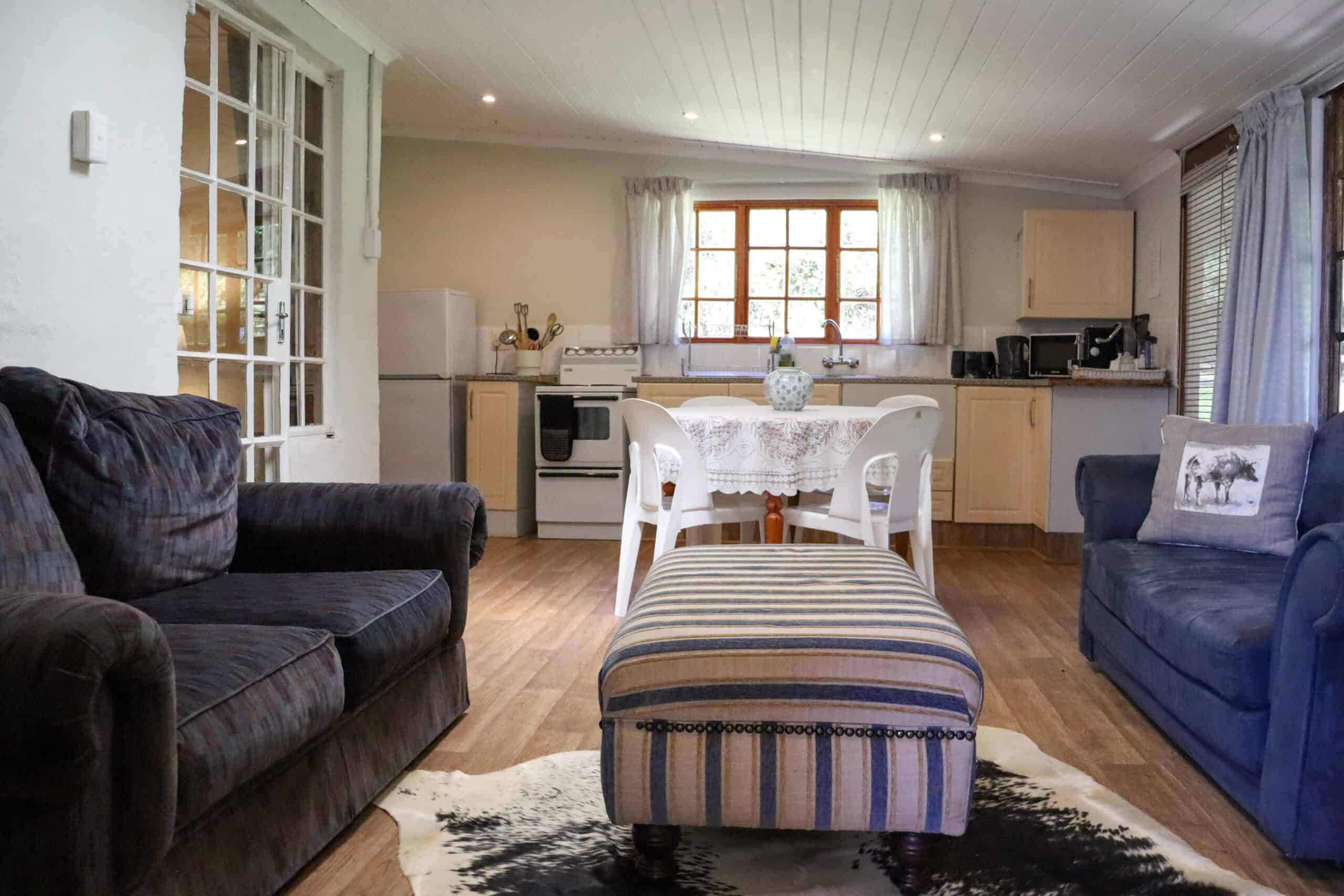
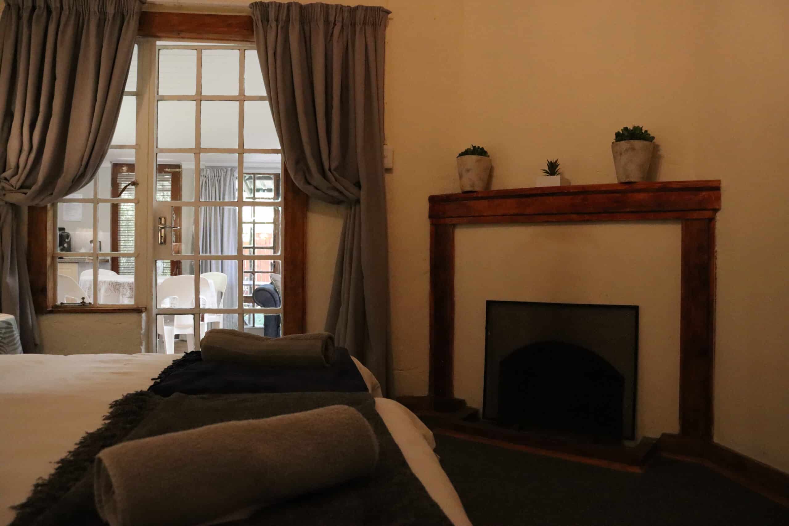
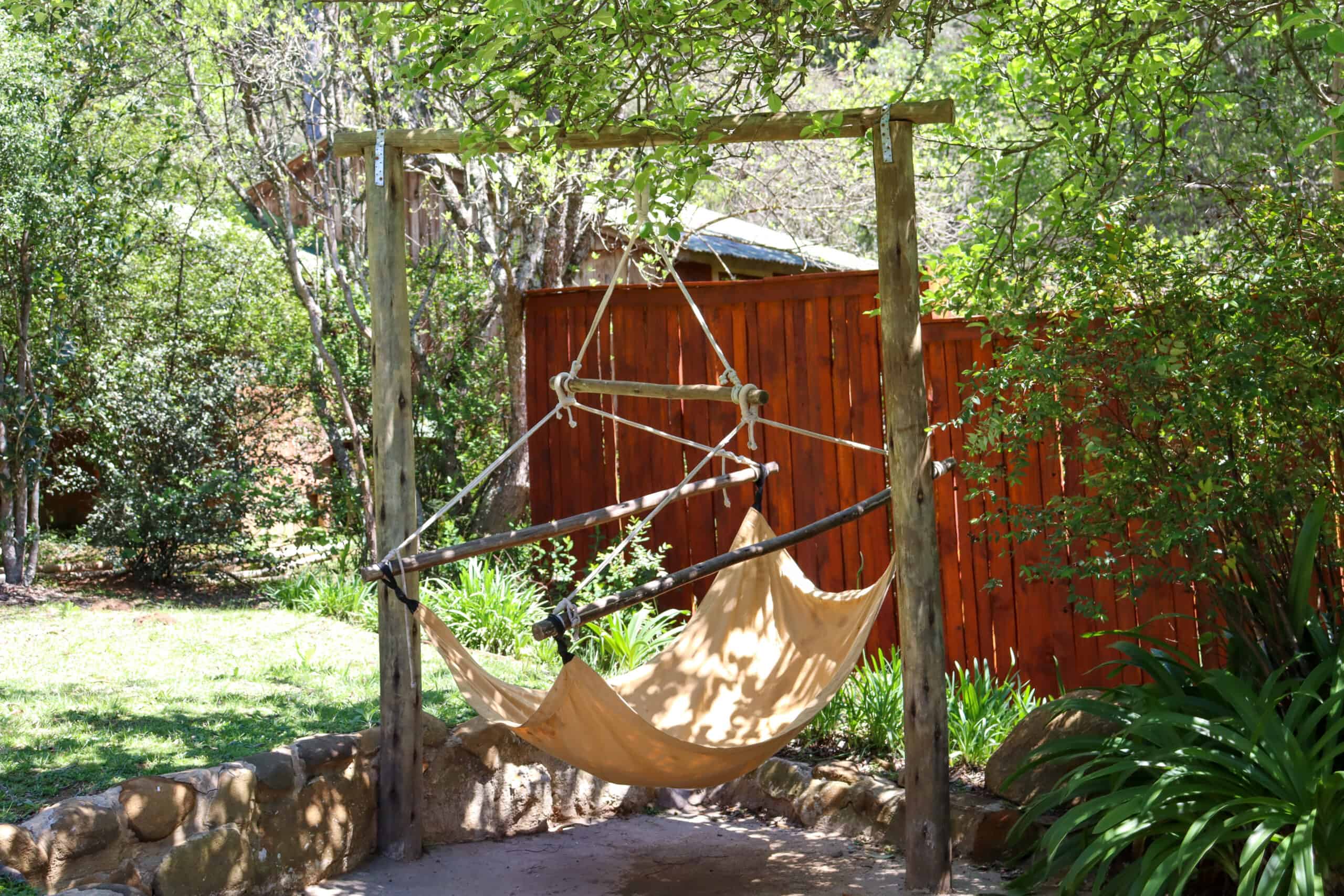
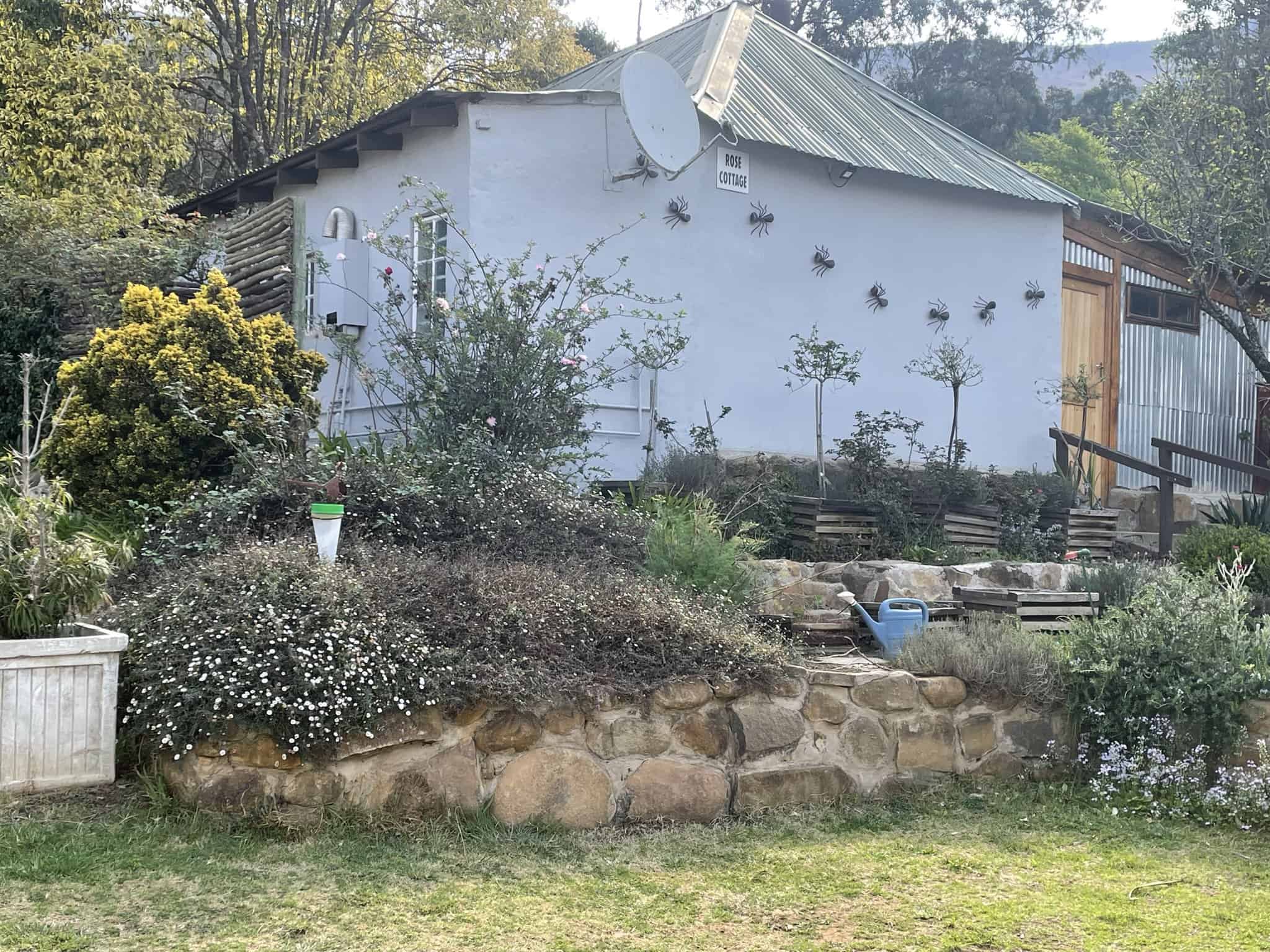
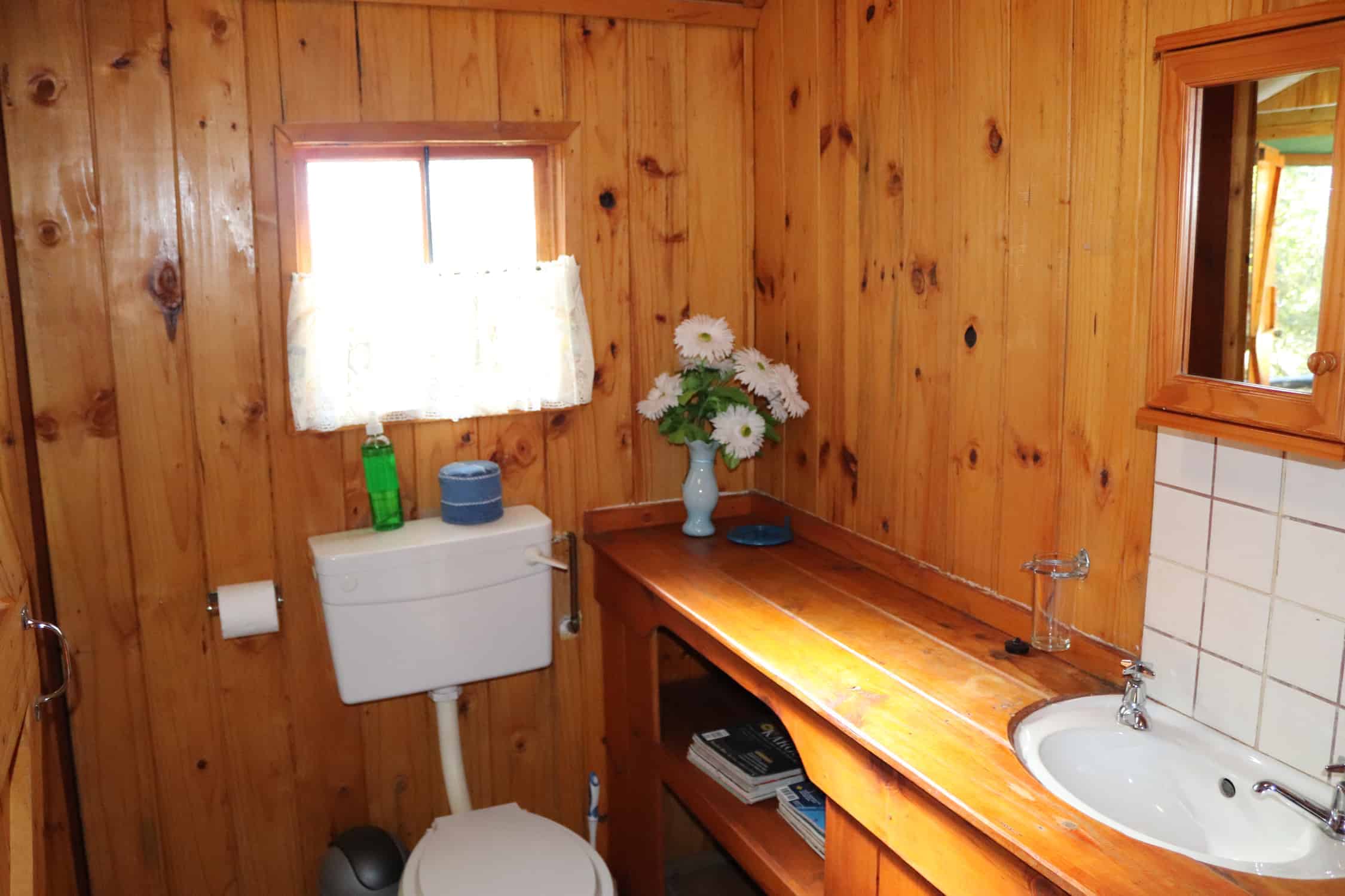
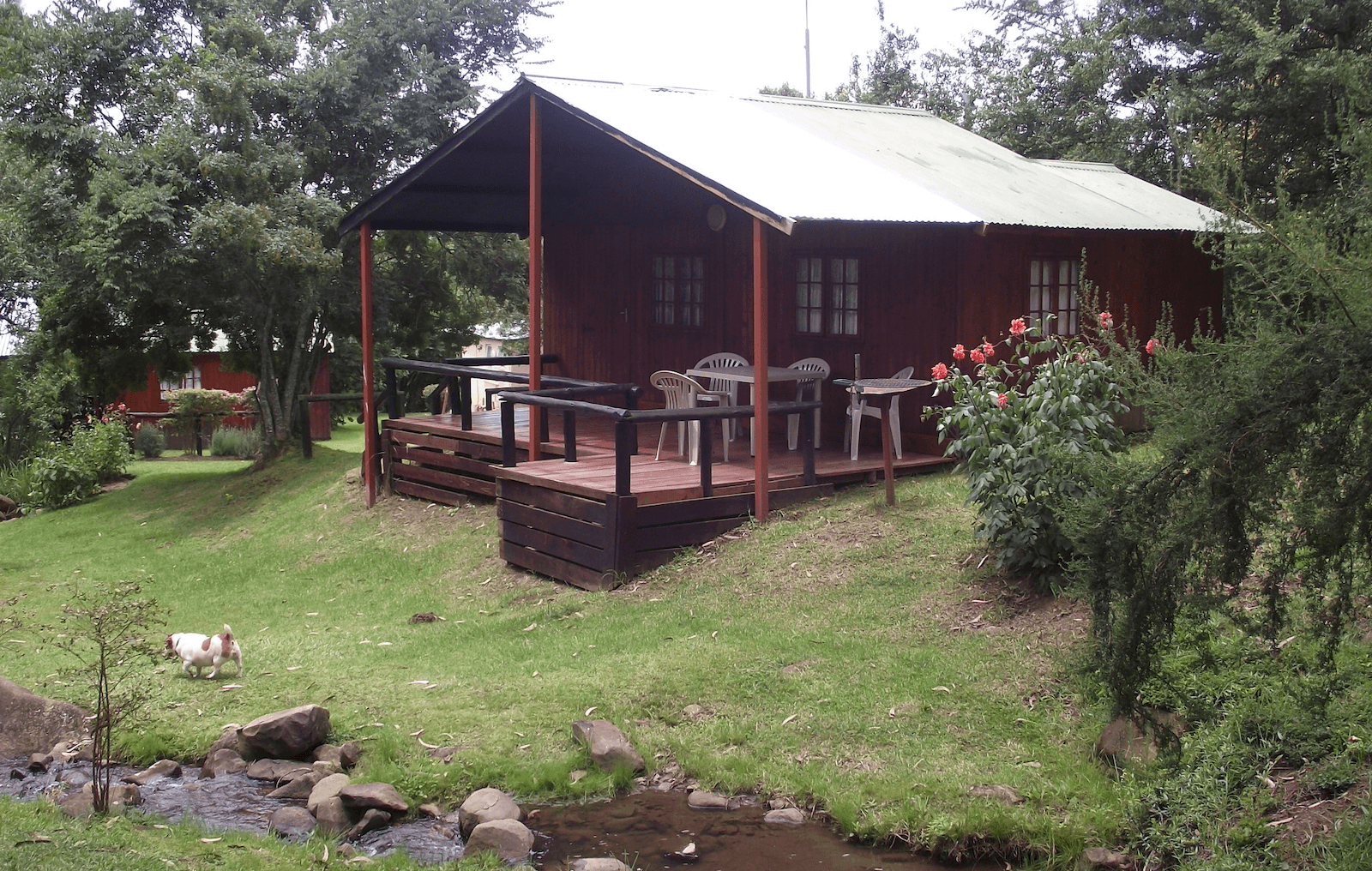
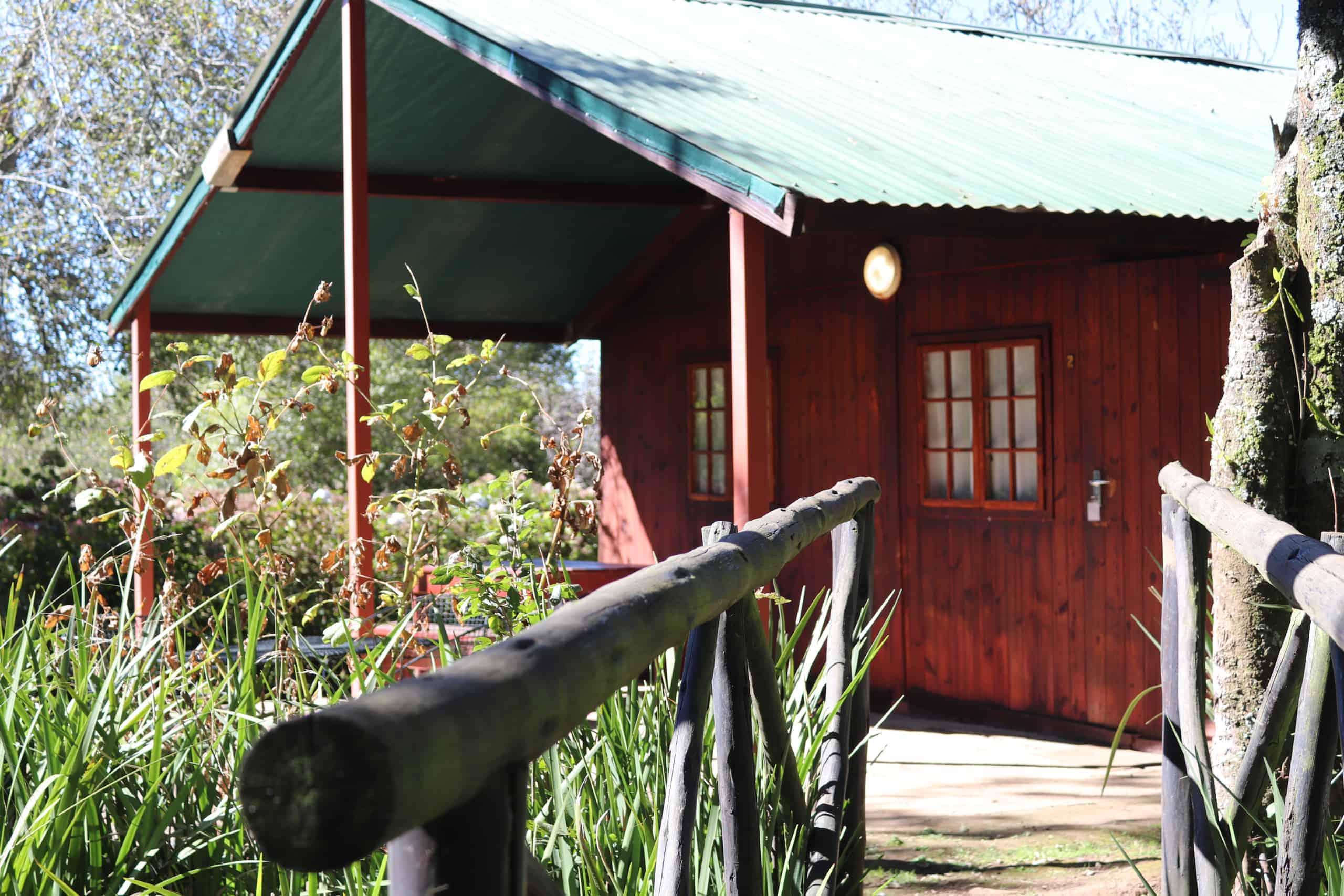
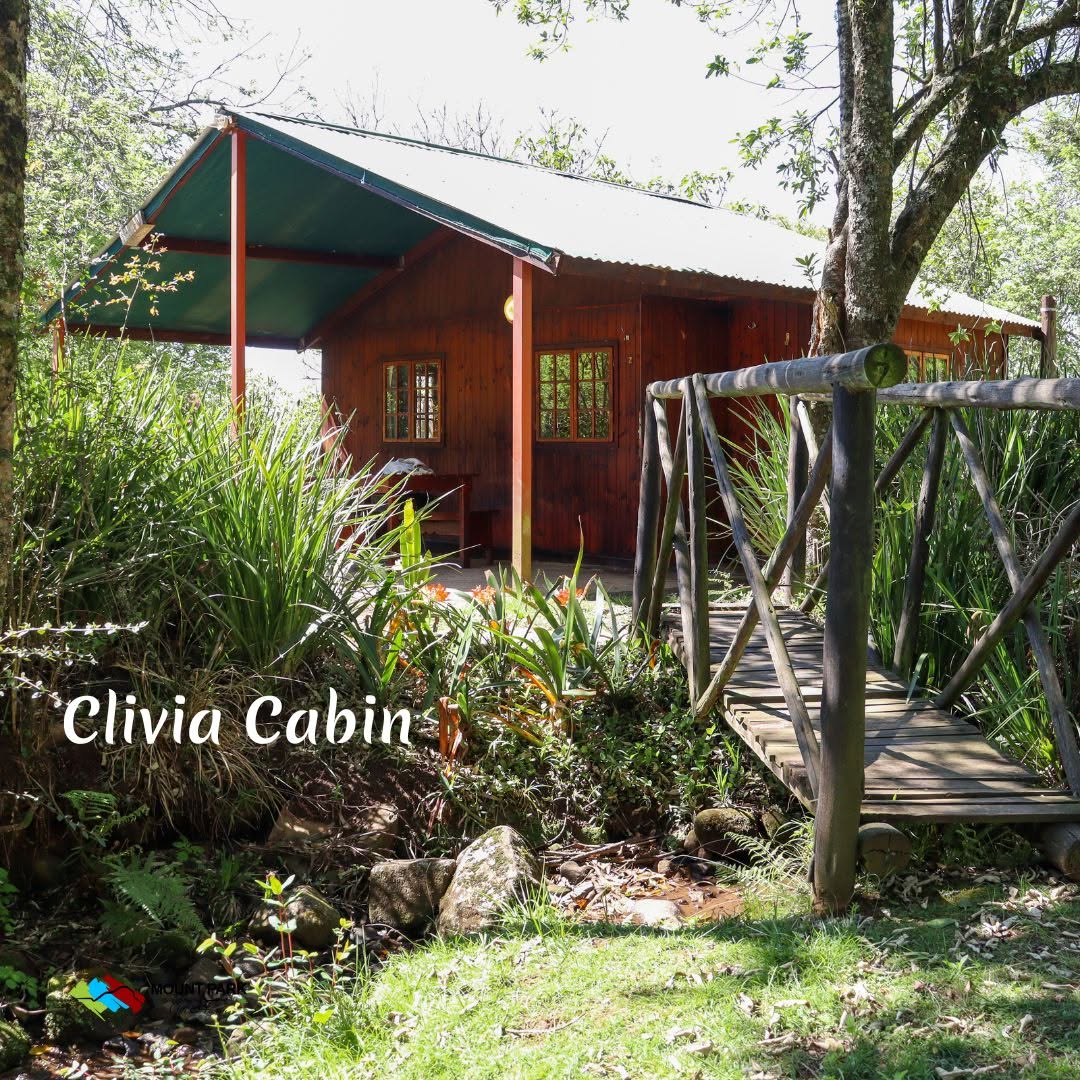
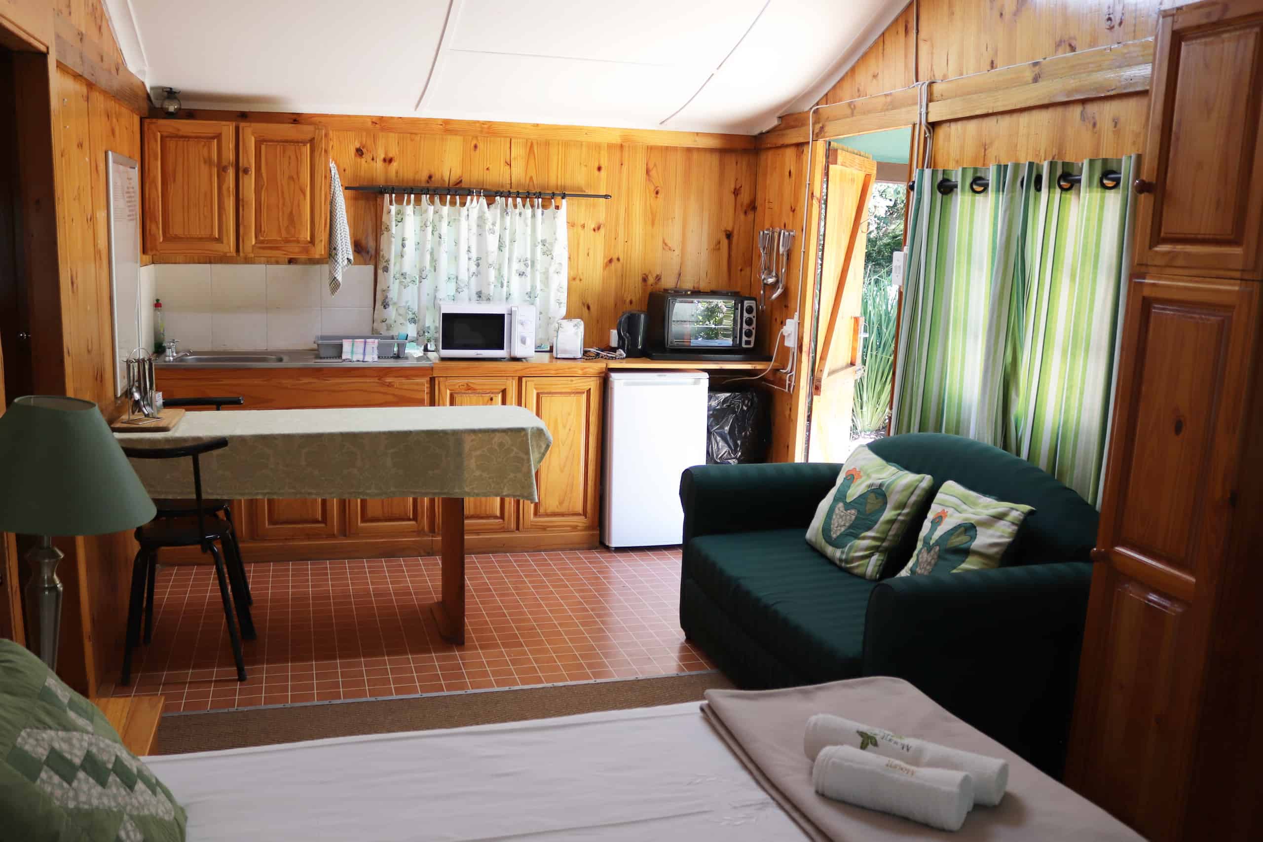
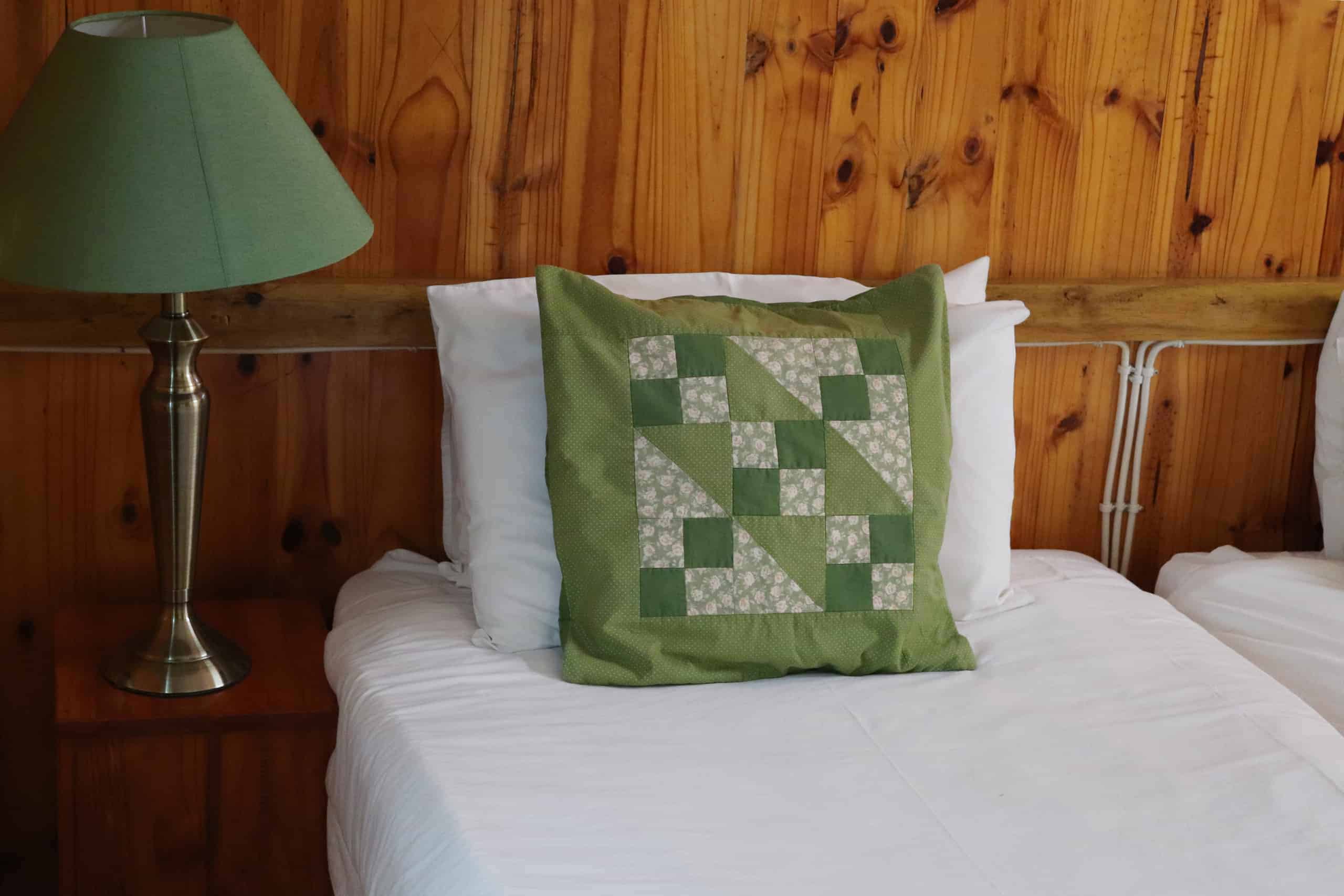
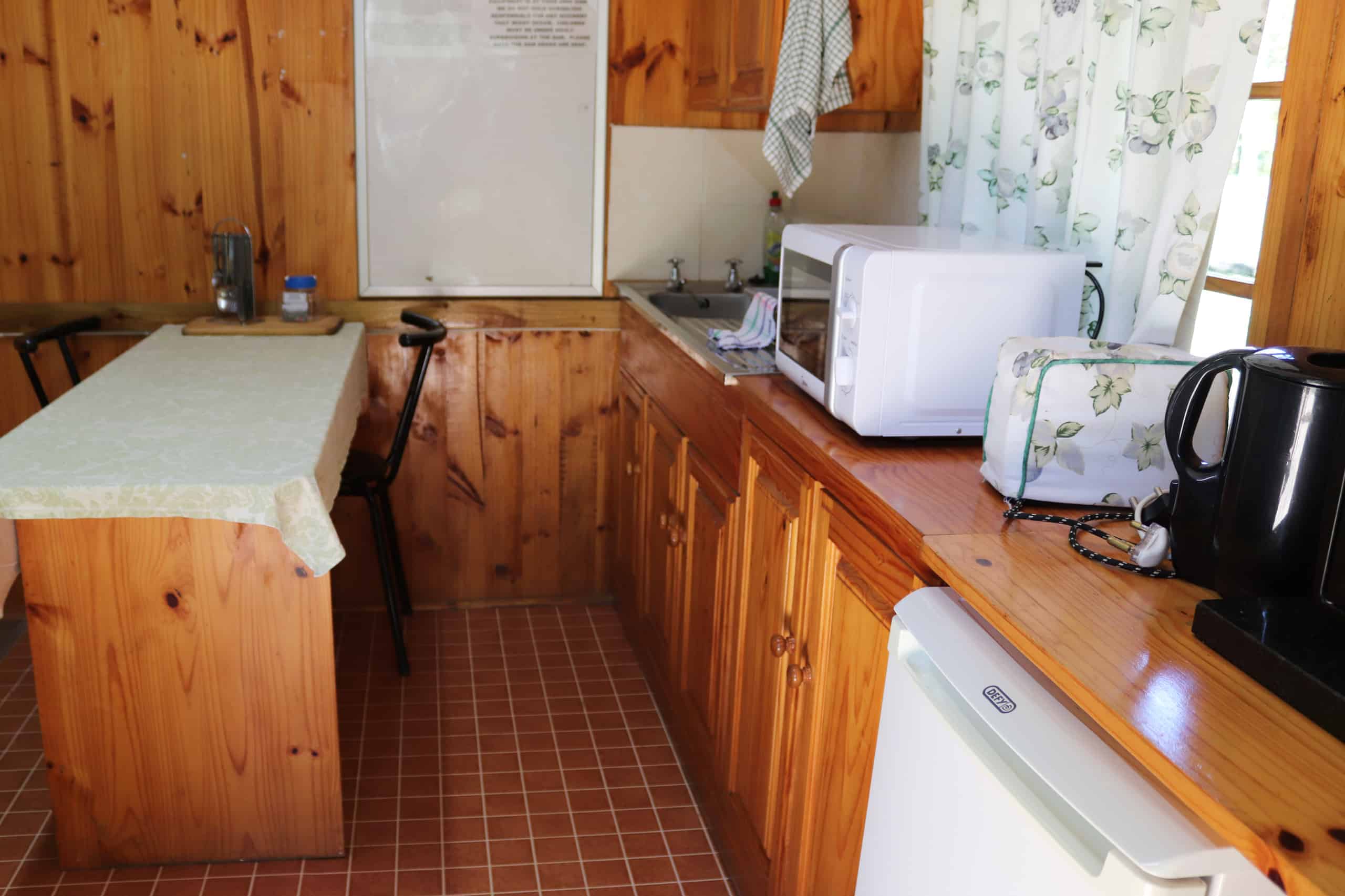
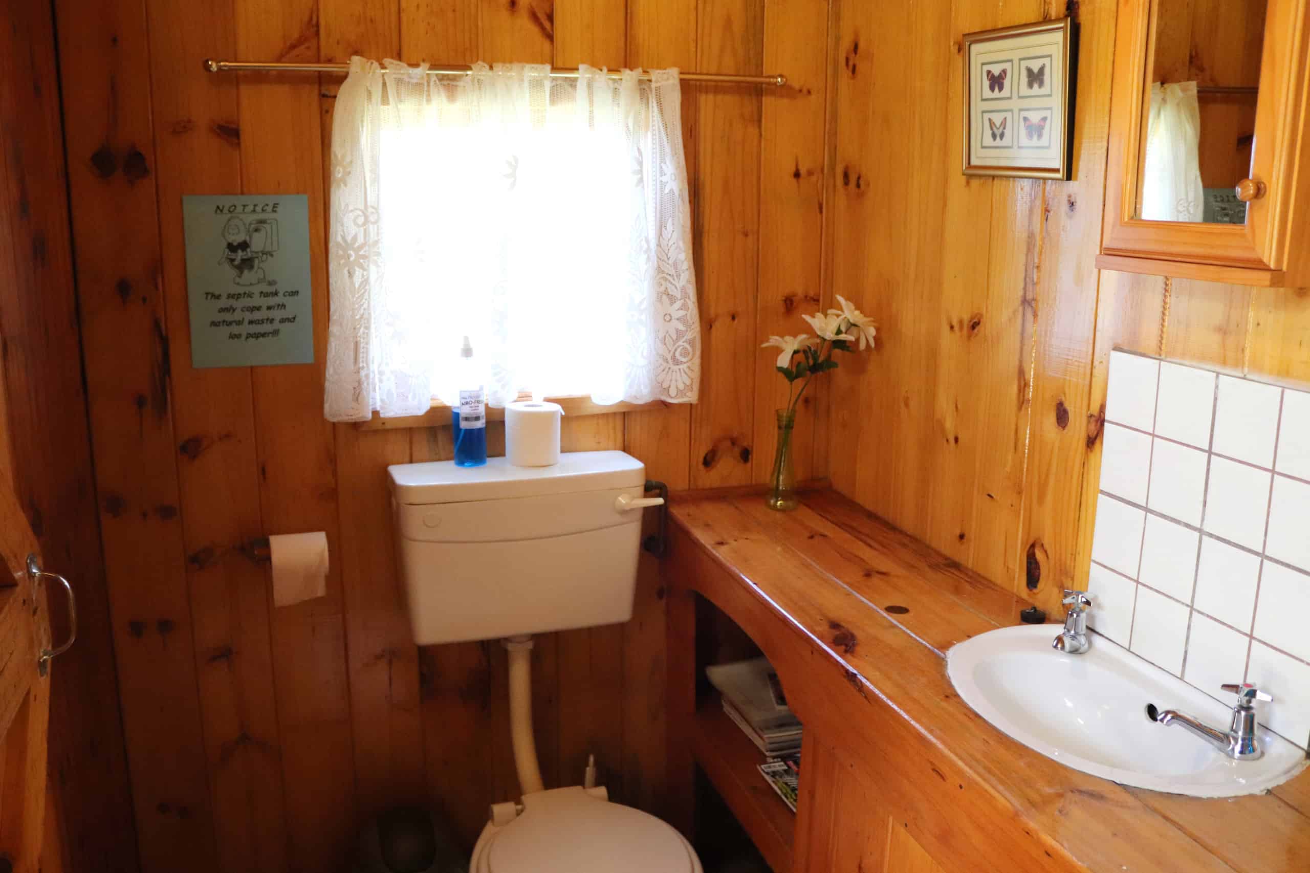
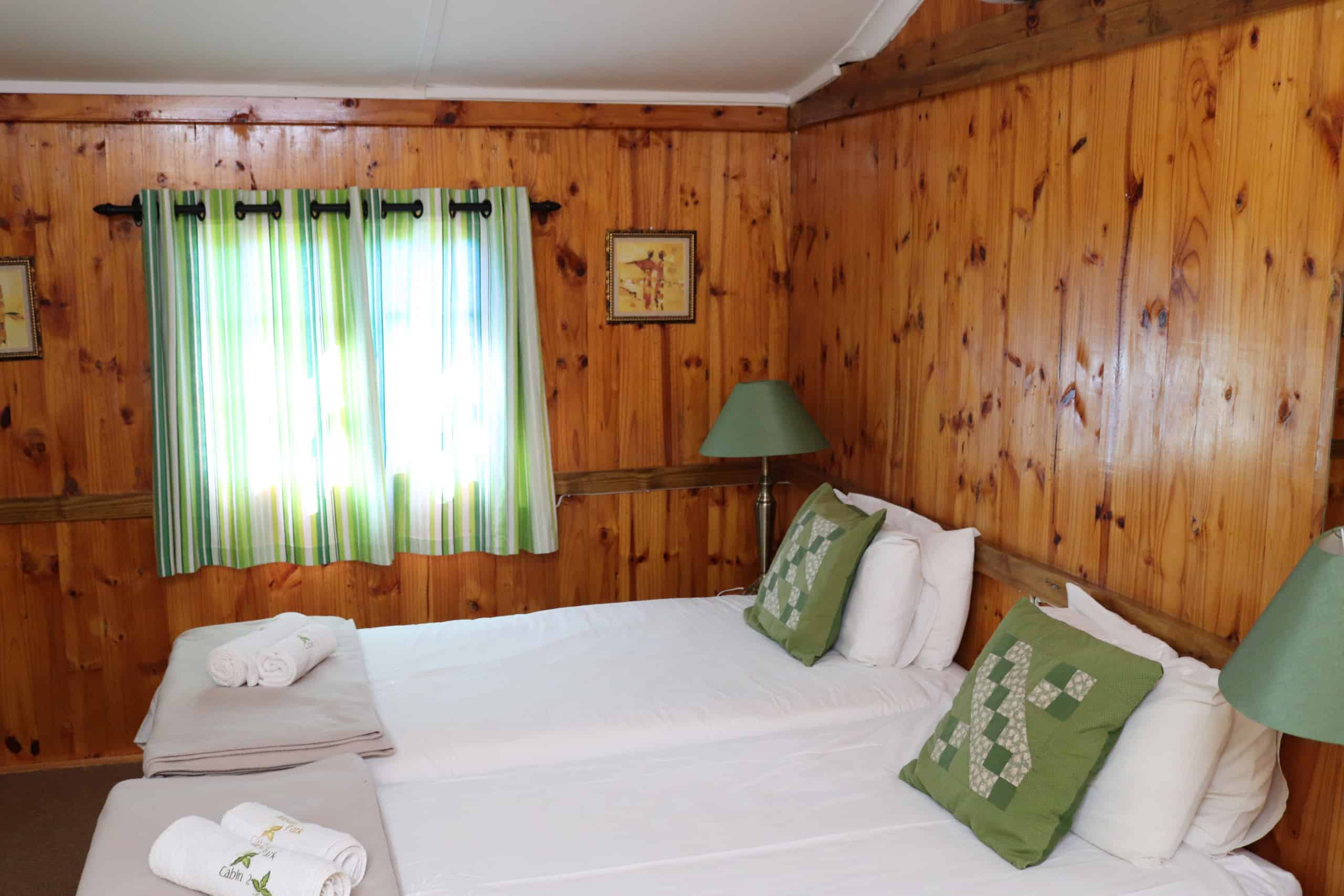
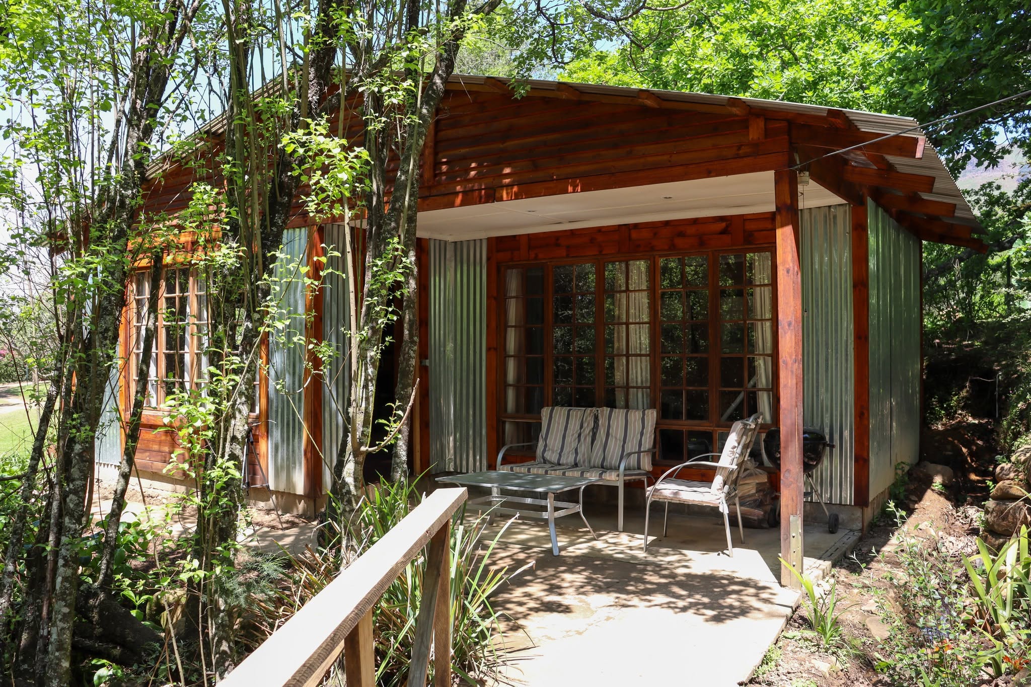
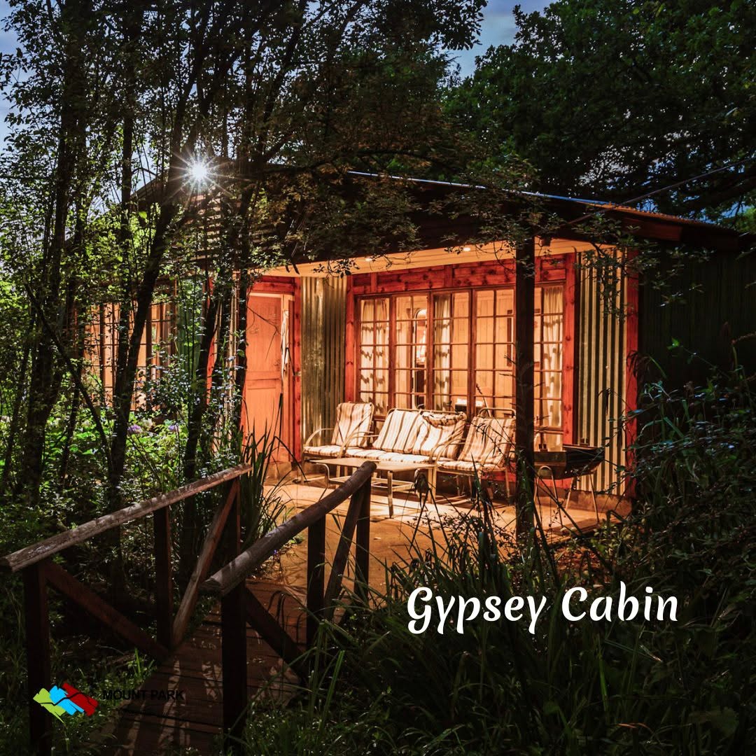
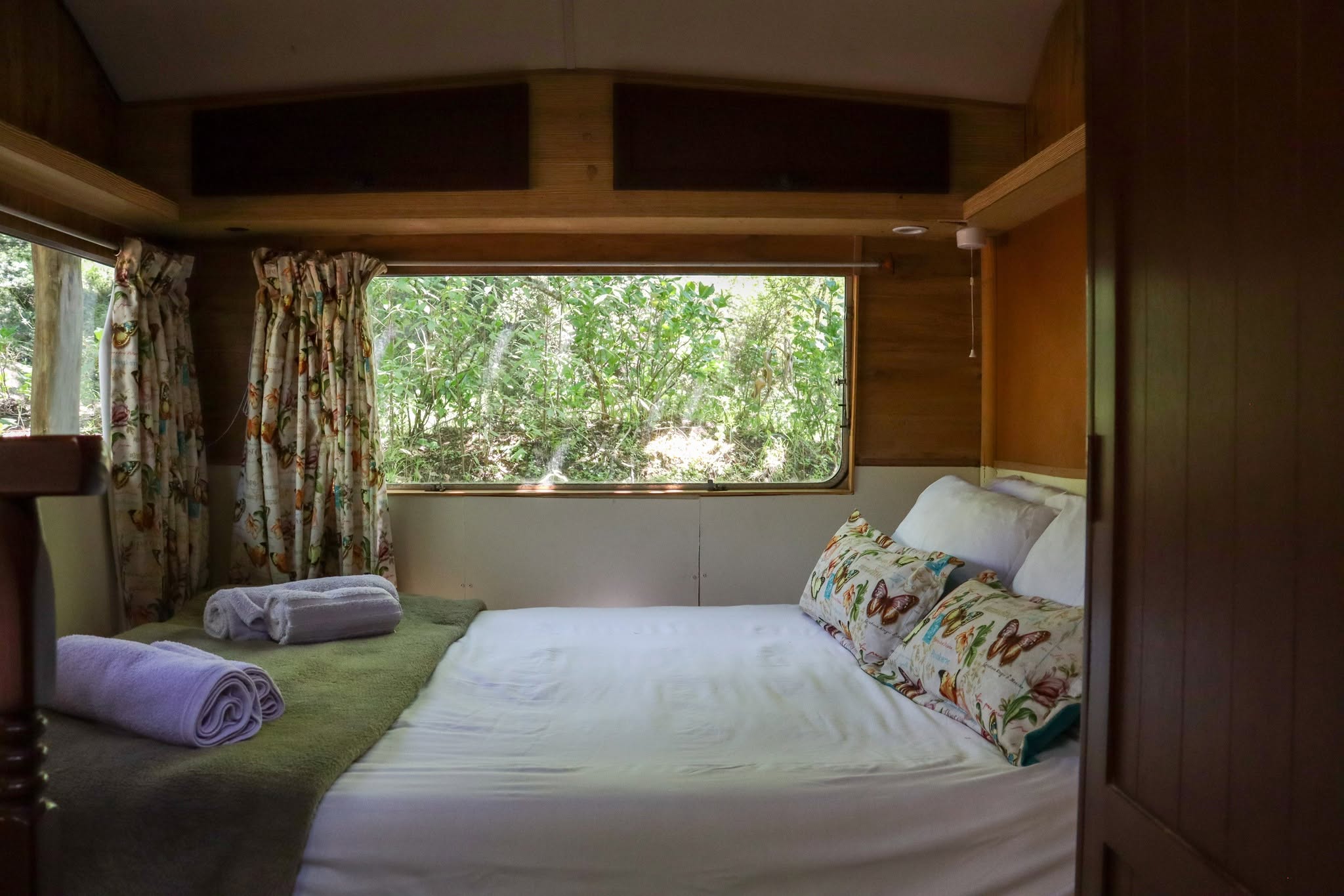
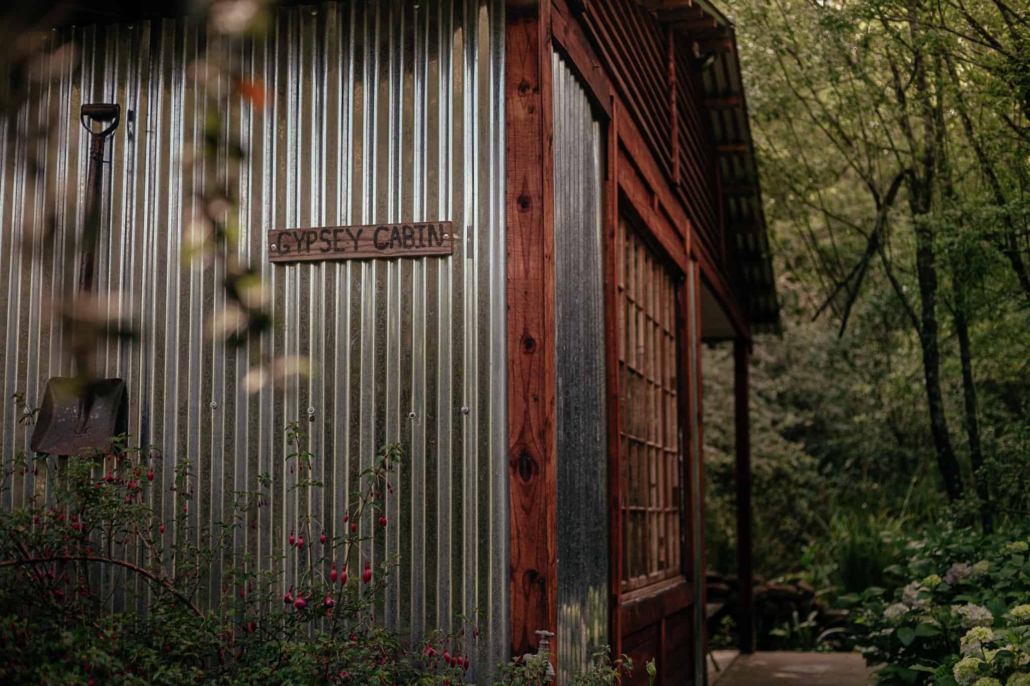
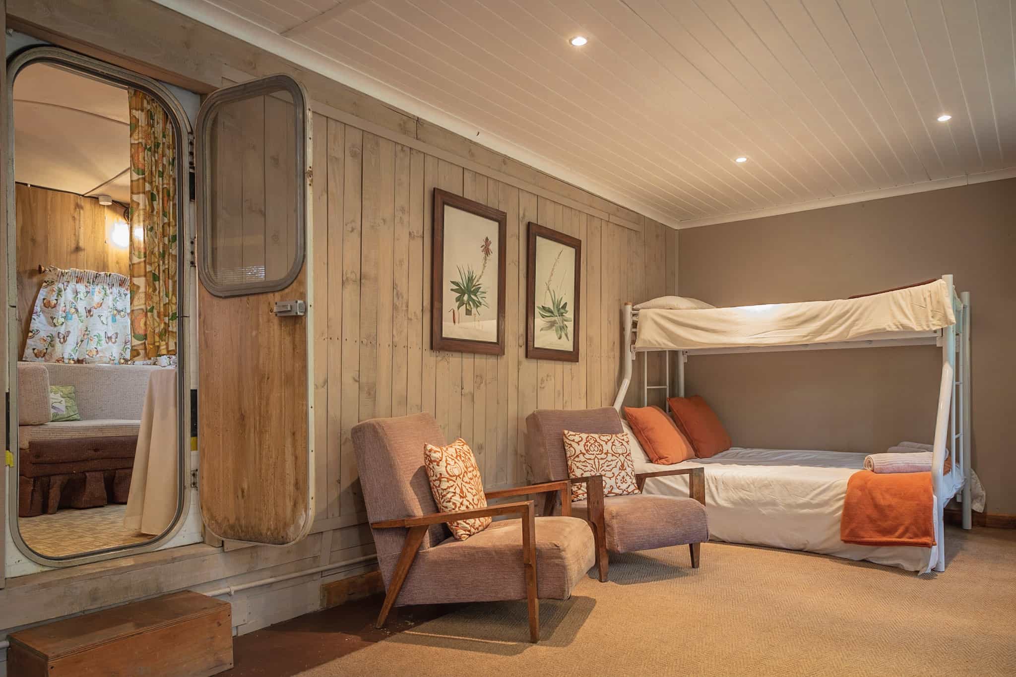
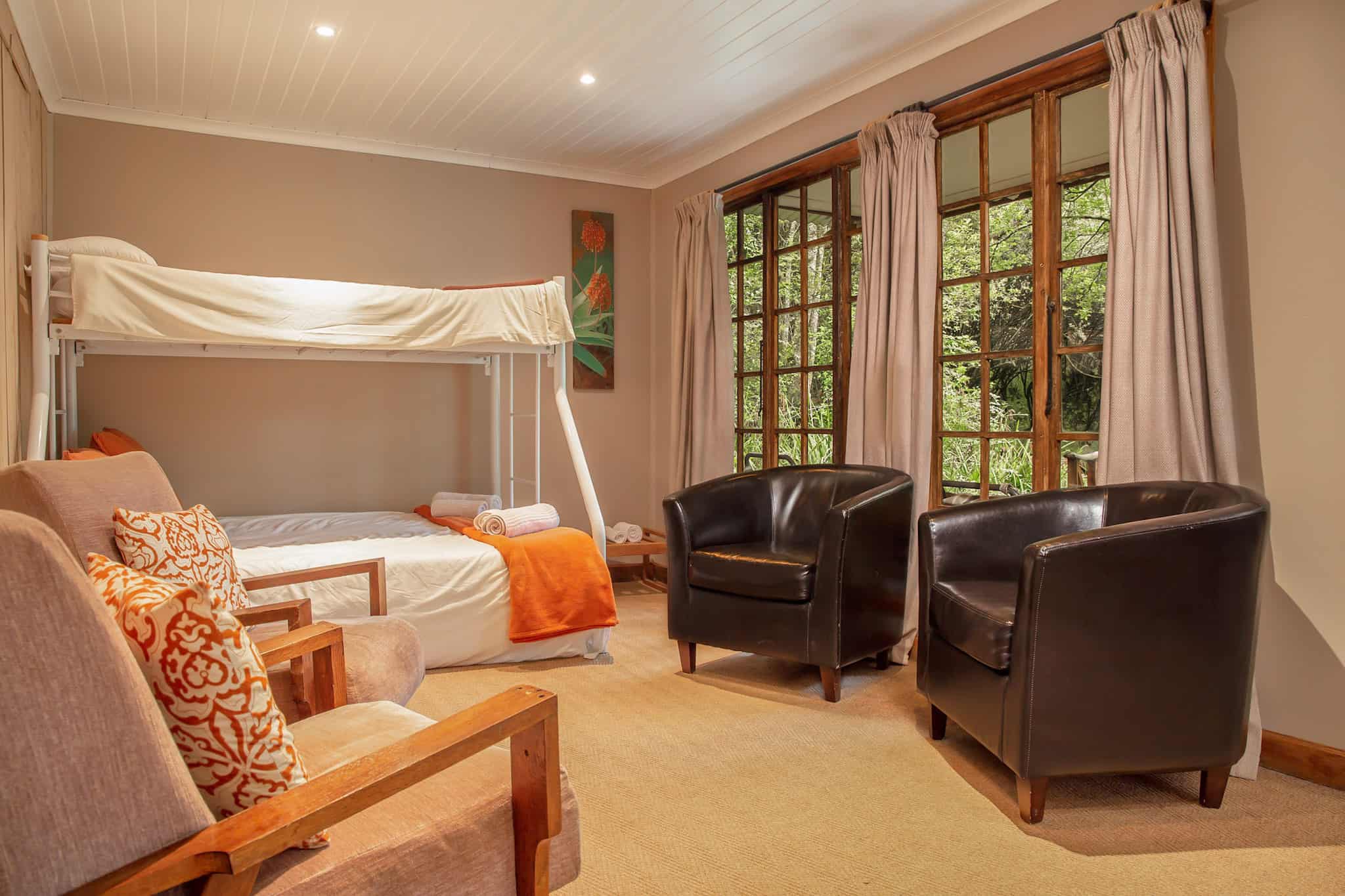
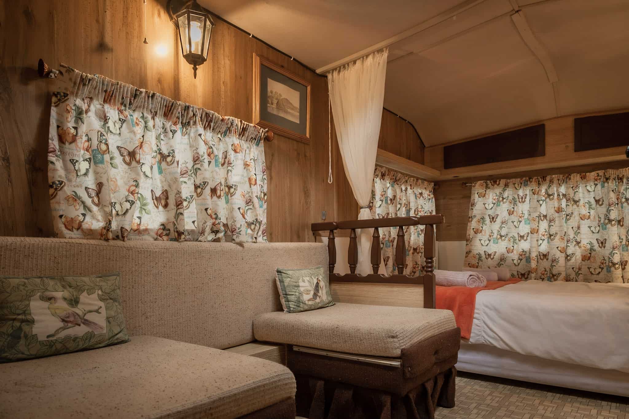
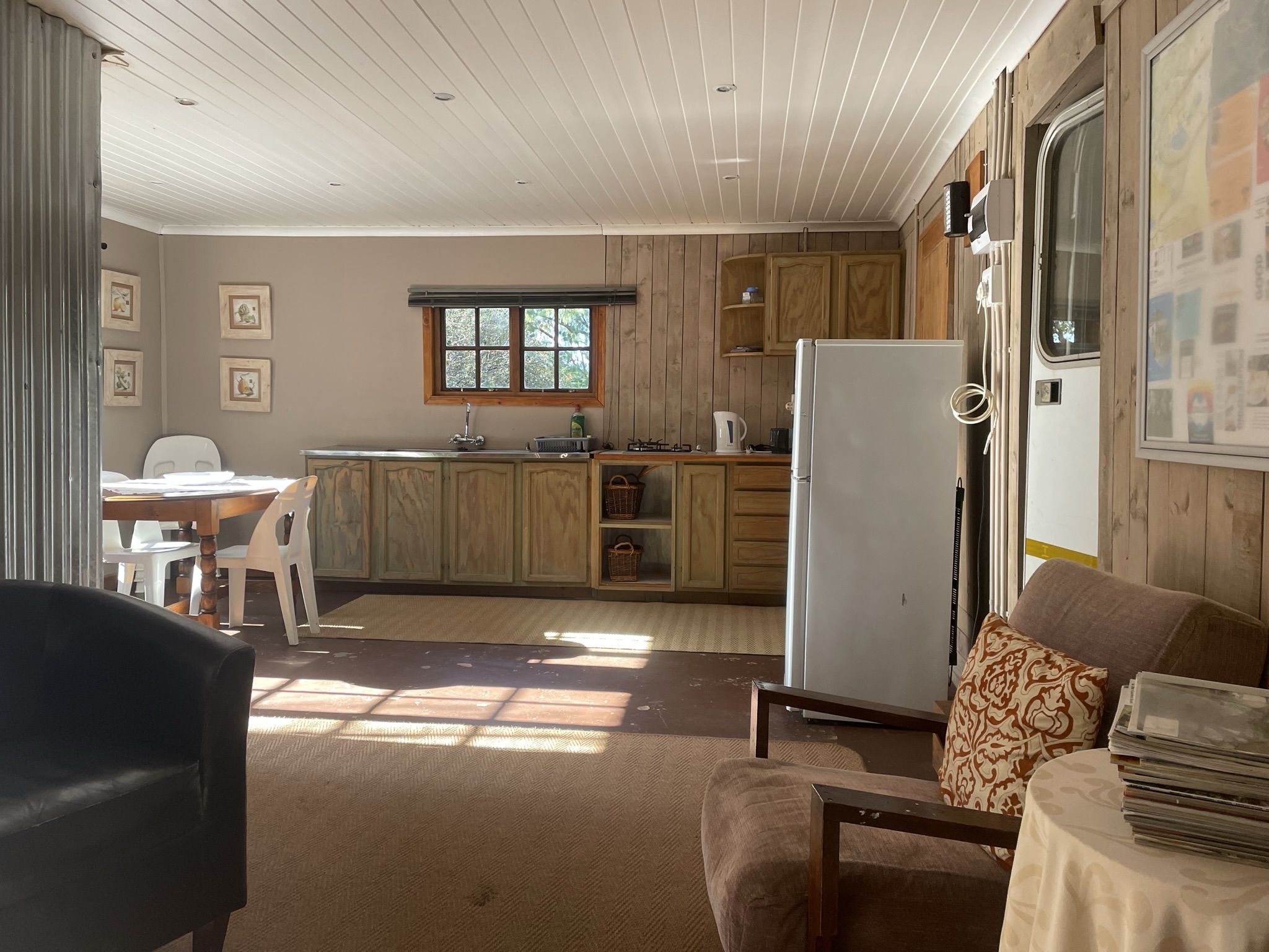
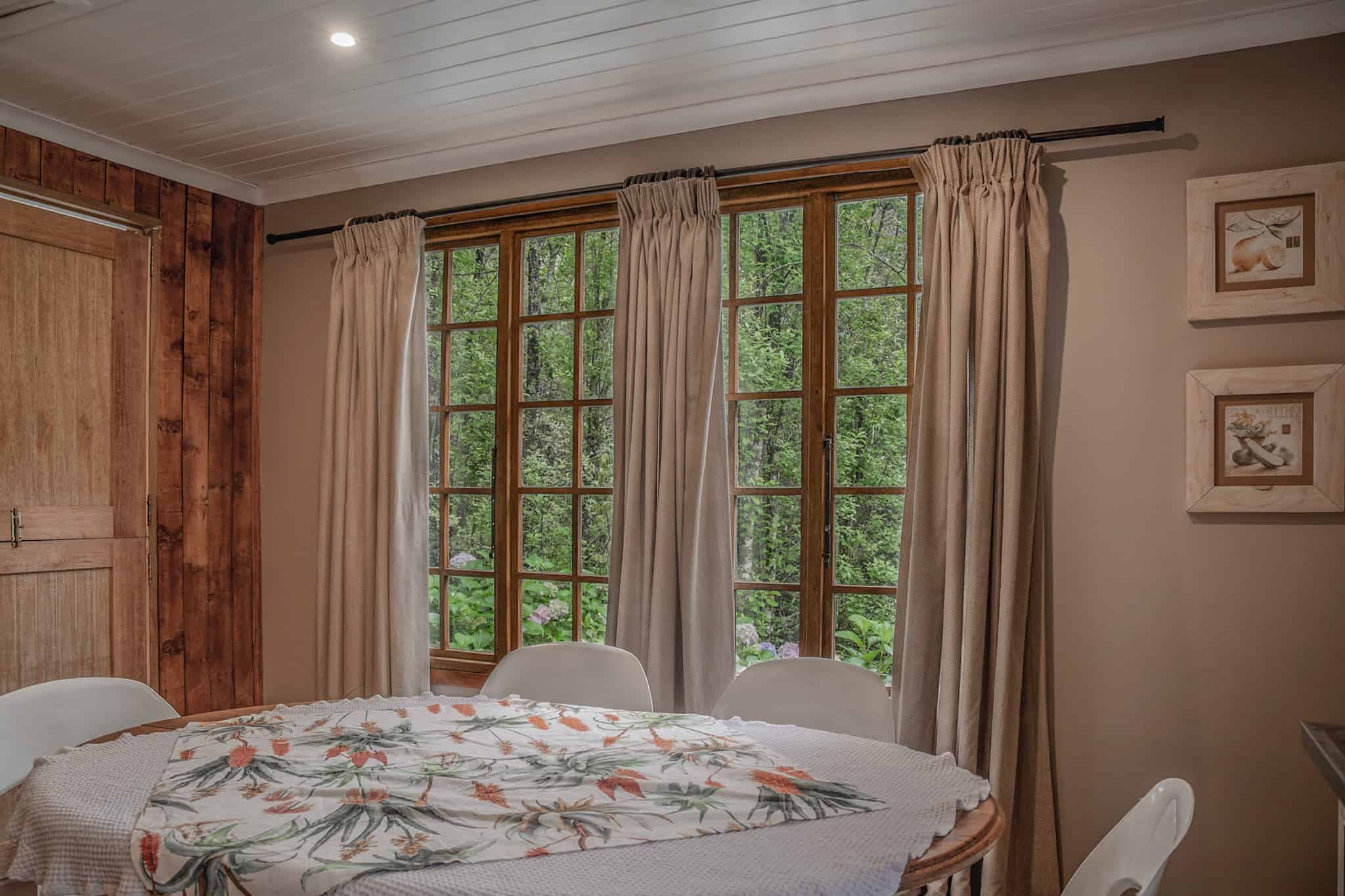
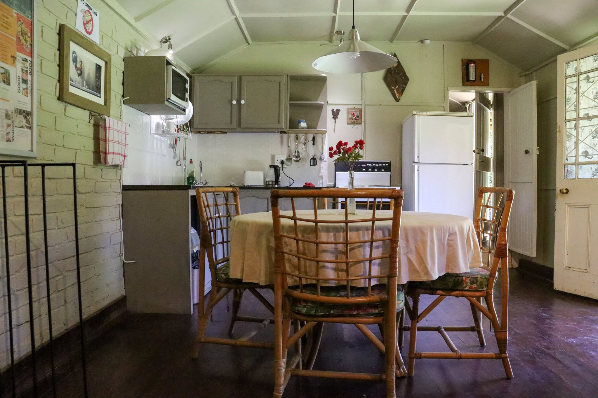
SAFARI TENTS:
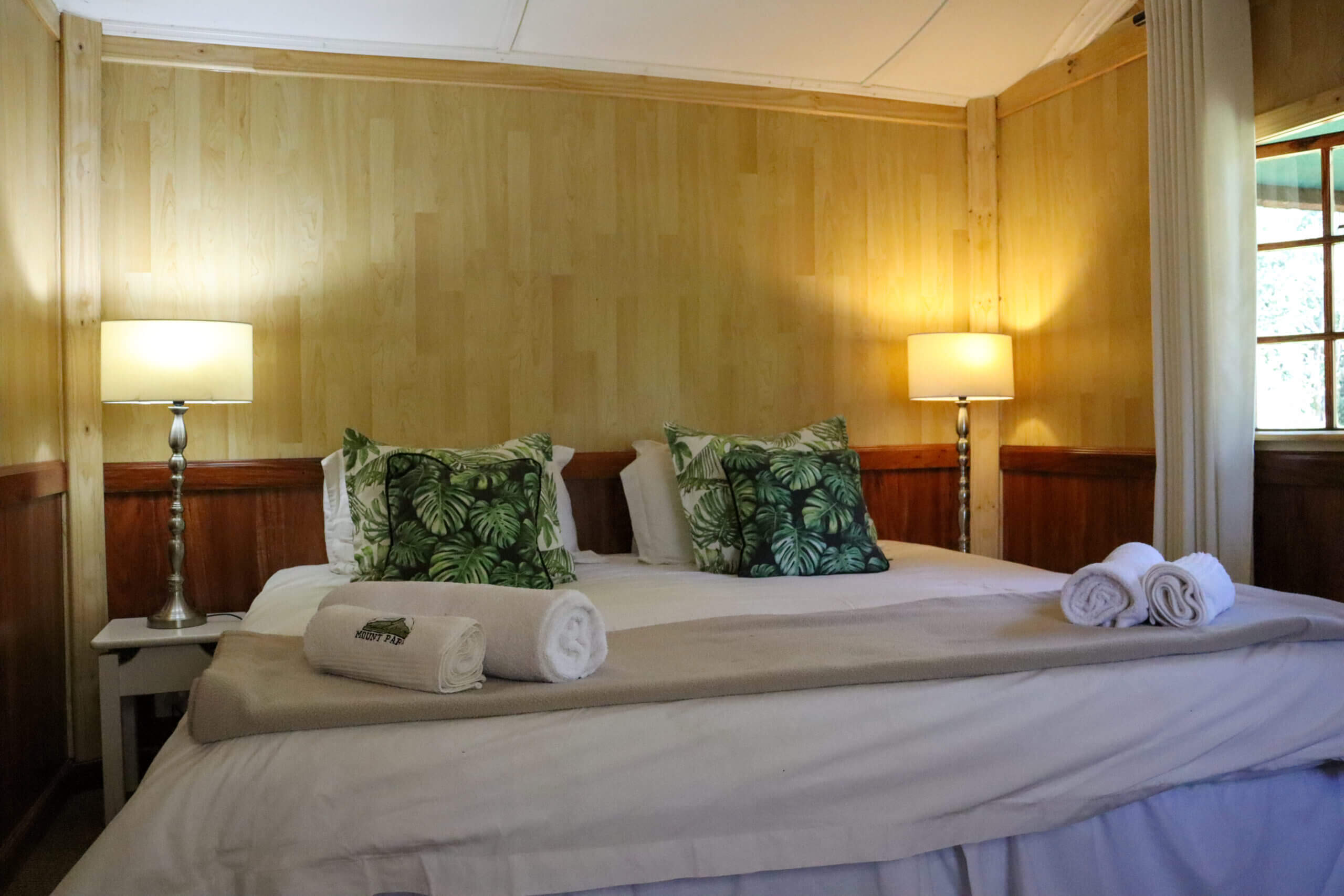
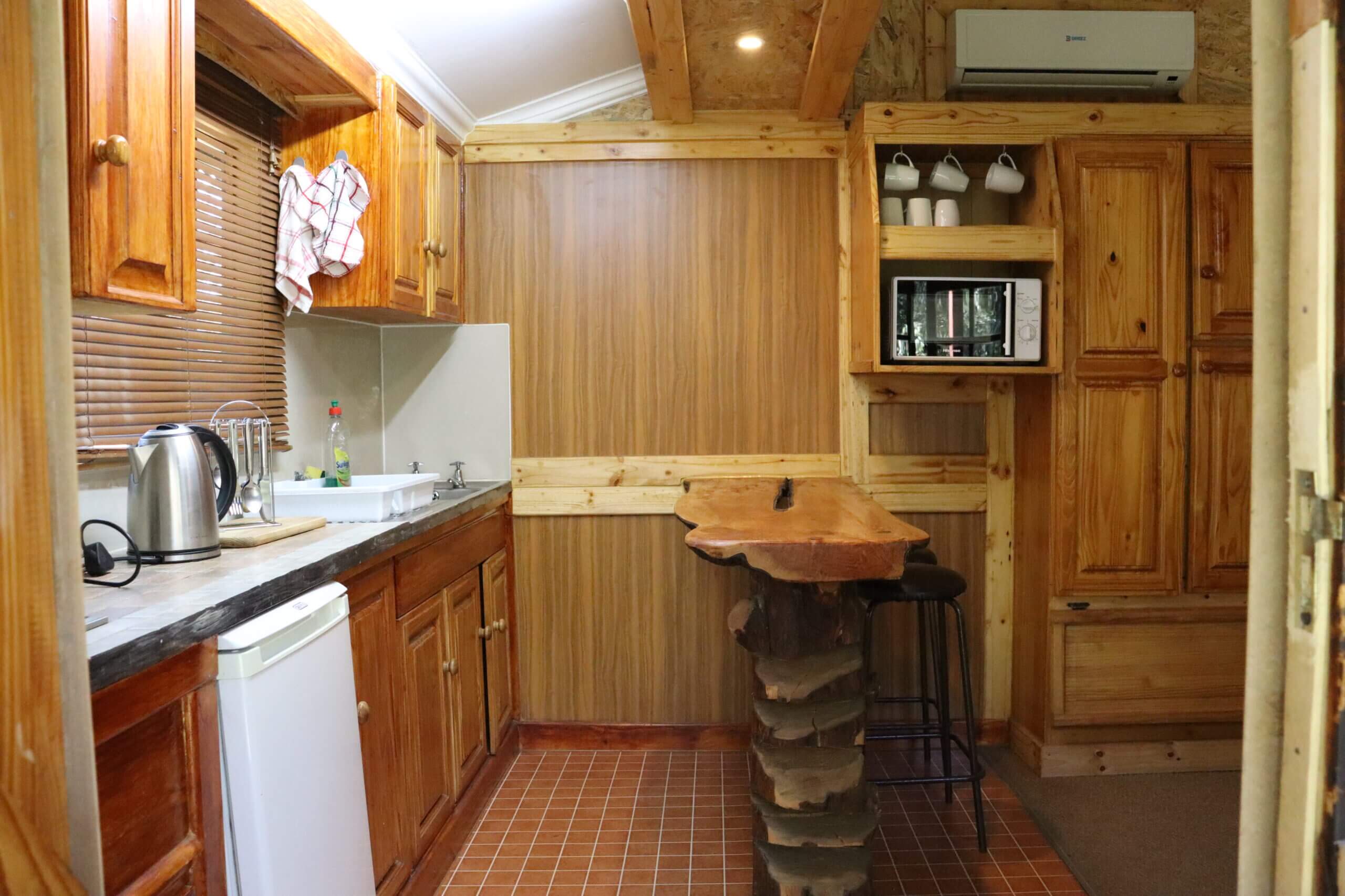
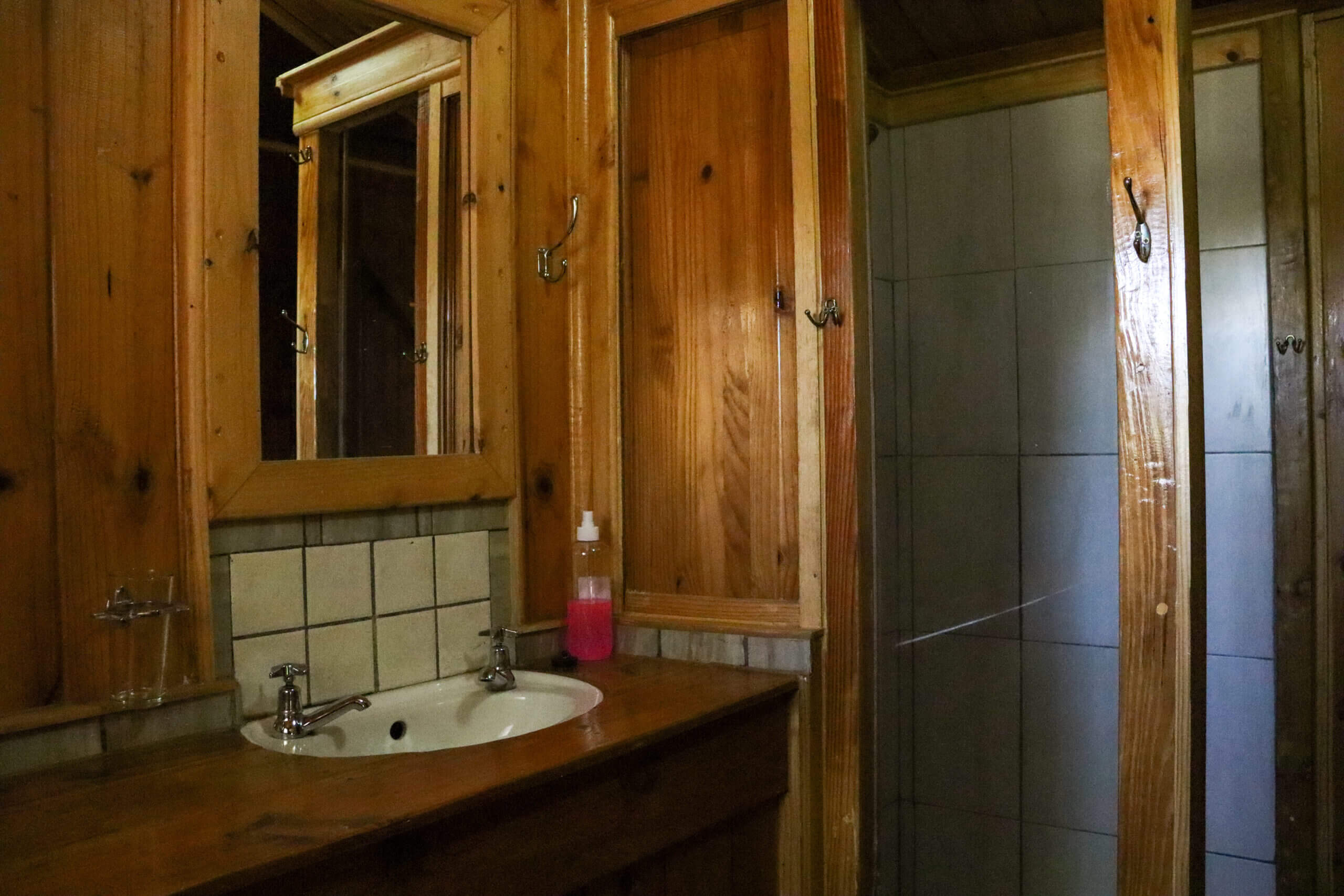
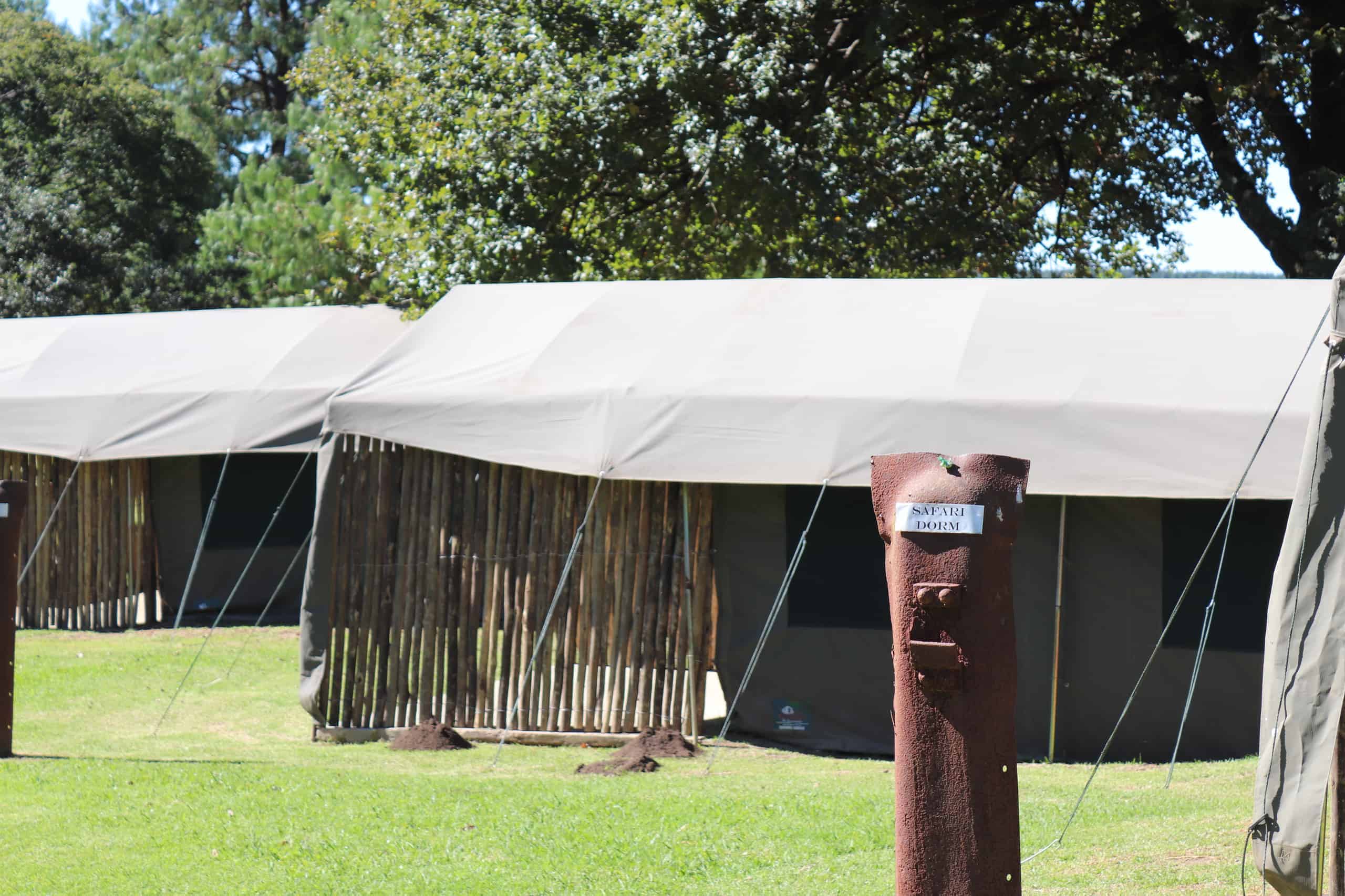
Two well equipped safari tents, Reedbuck and Bushbuck and one dorm safari tent, the Duiker
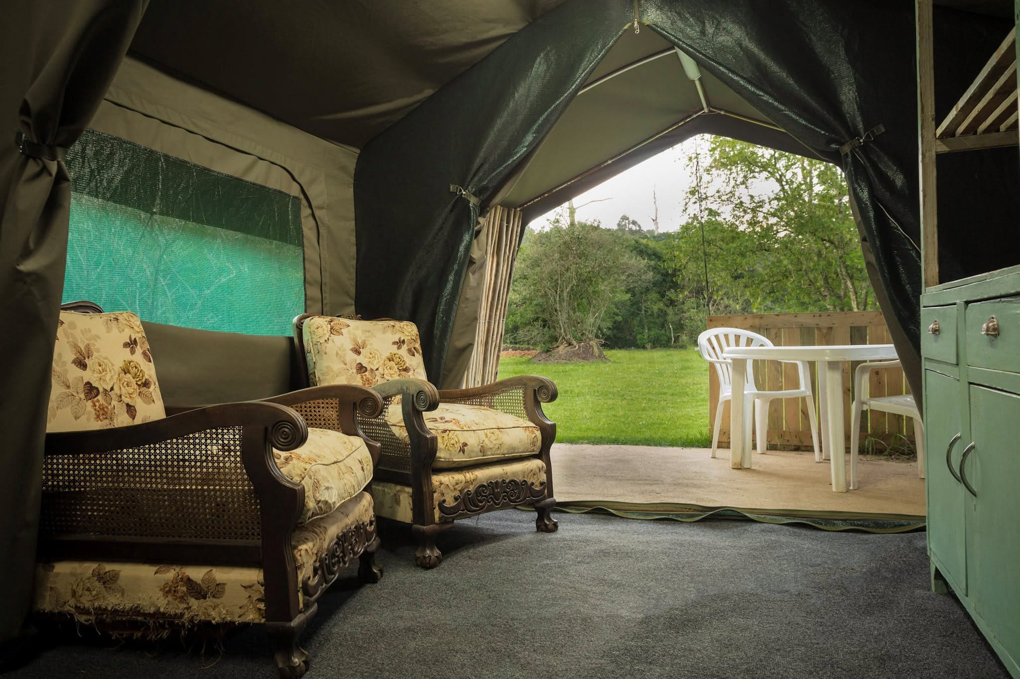

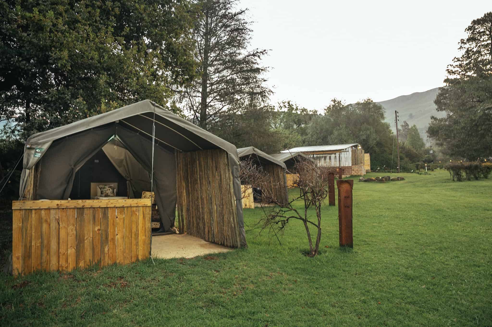
CAMPSITES:
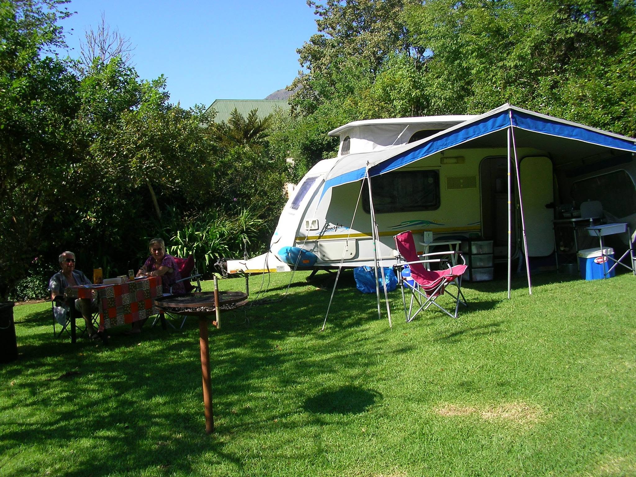
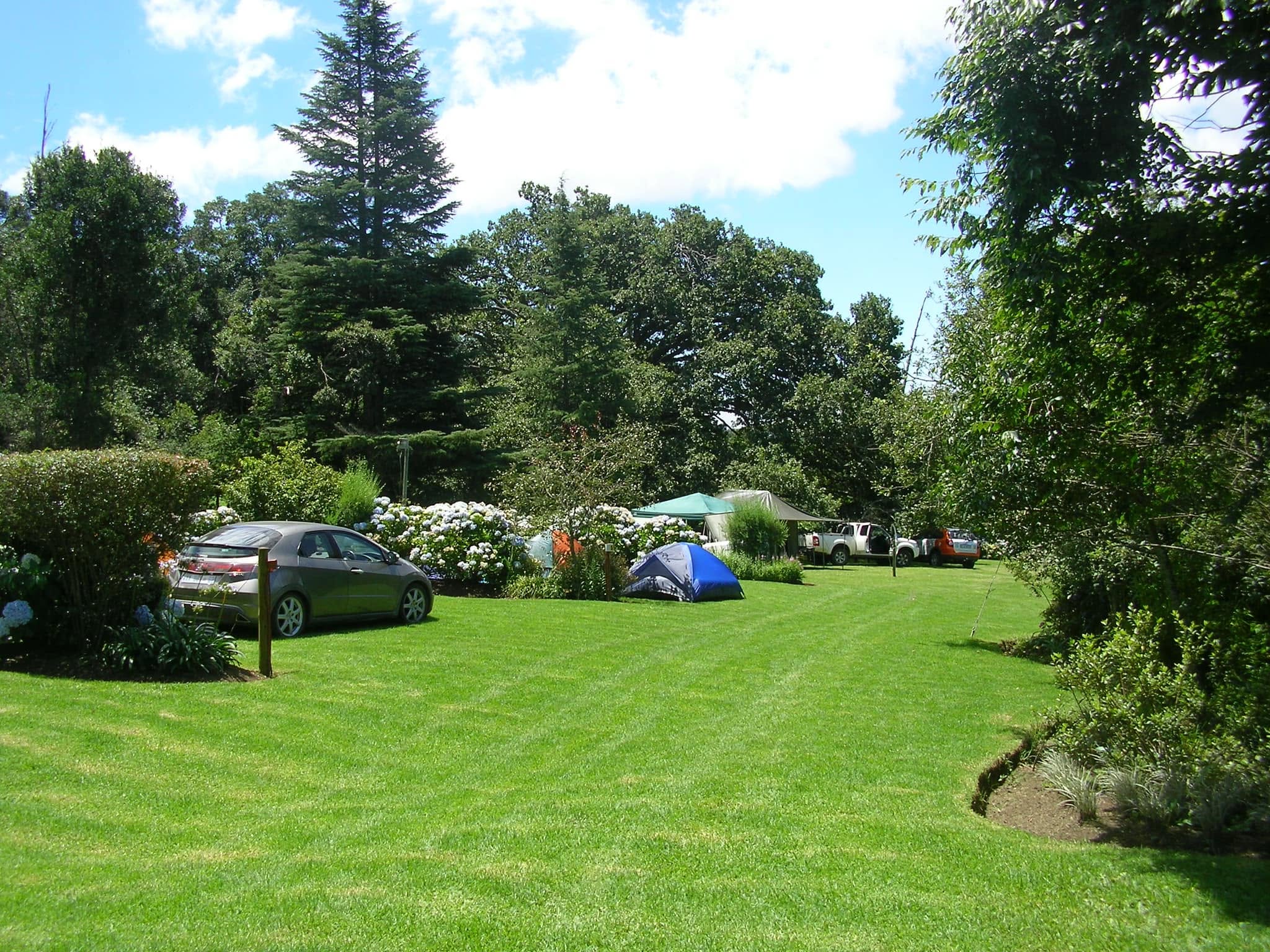
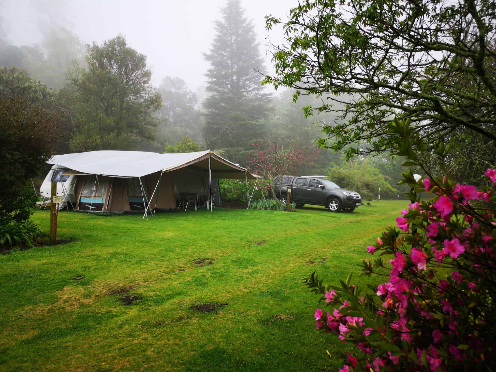
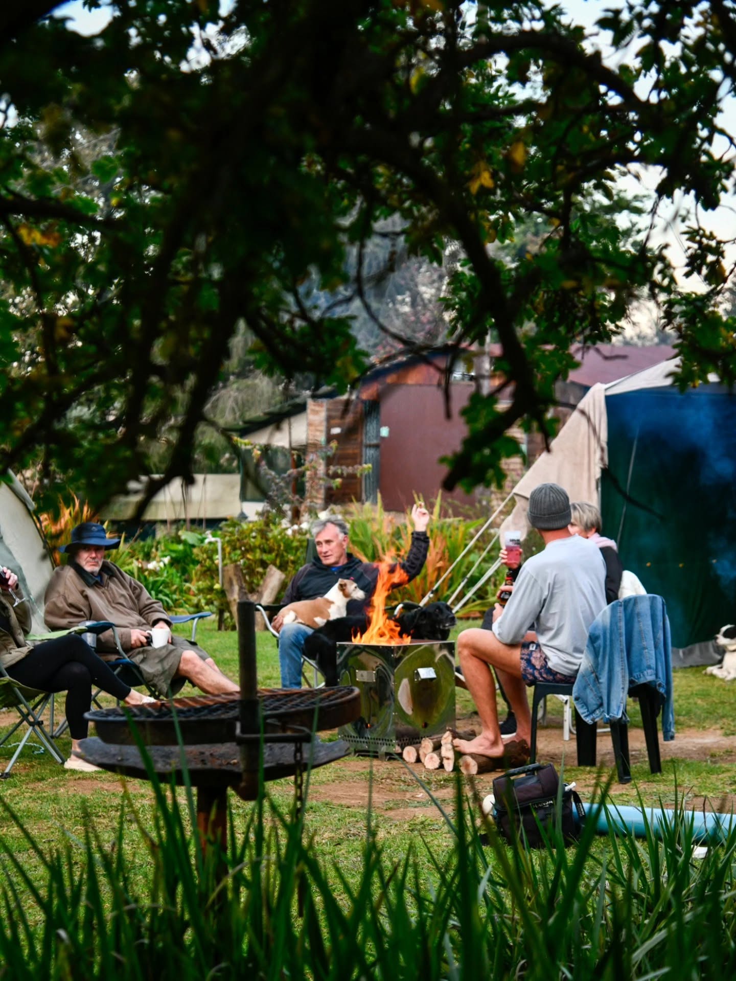
• Beautiful, lush gardens surround the Mount Park campsite and caravan park. Our 180-year-old oak tree creates a feeling of peace and tranquillity.
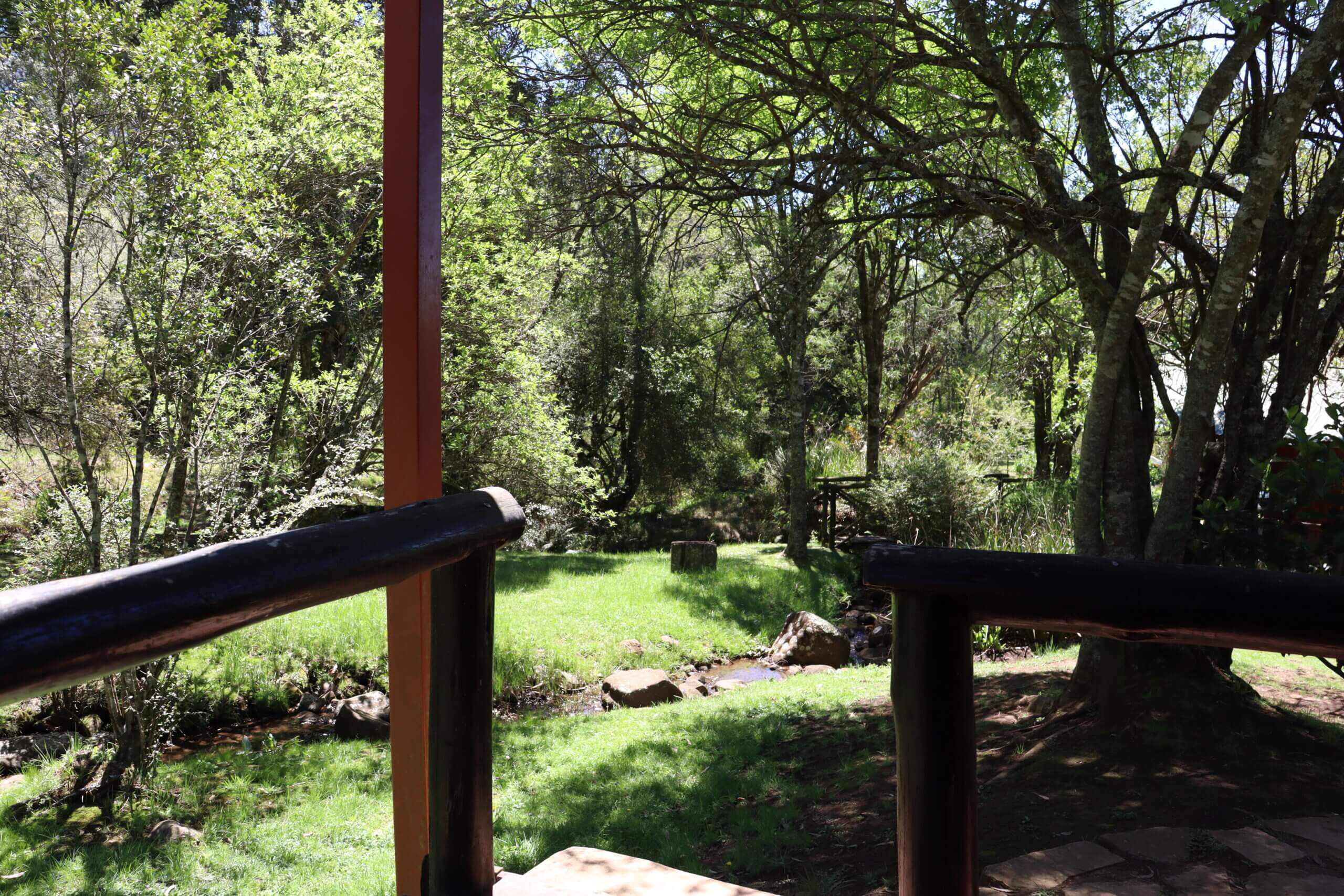
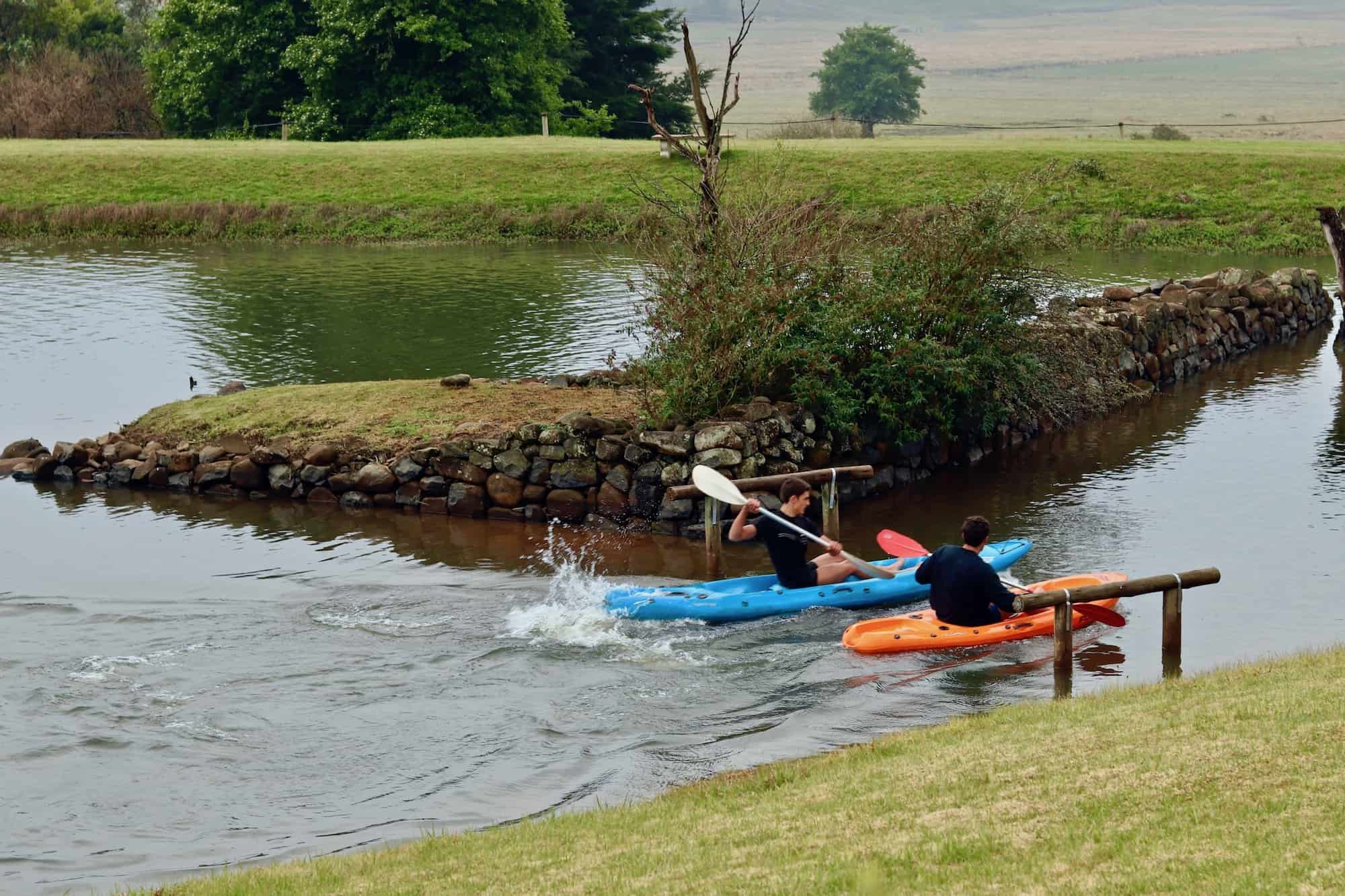
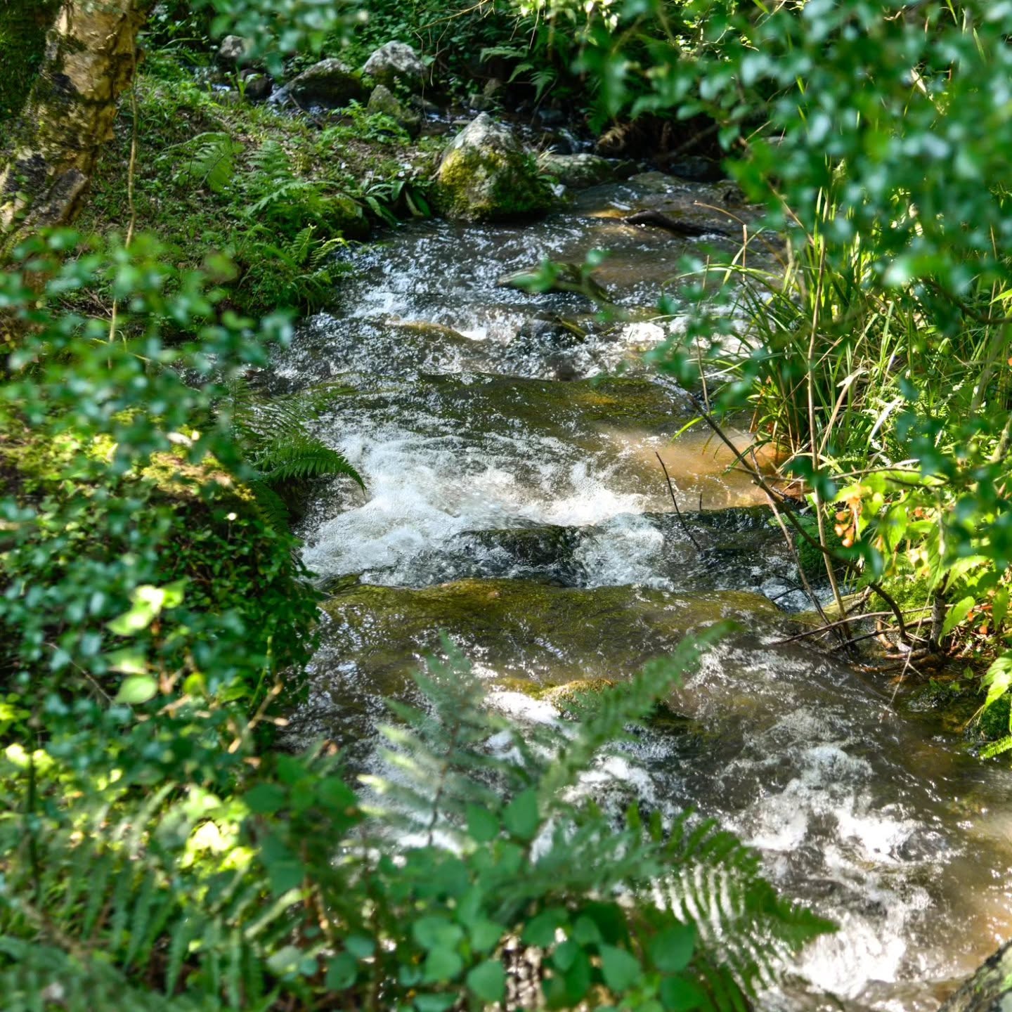
• The gentle sound of our flowing mountain water streams will relax you the moment you arrive.
• We offer some of the most beautiful camping spots in the KwaZulu Natal Midlands.
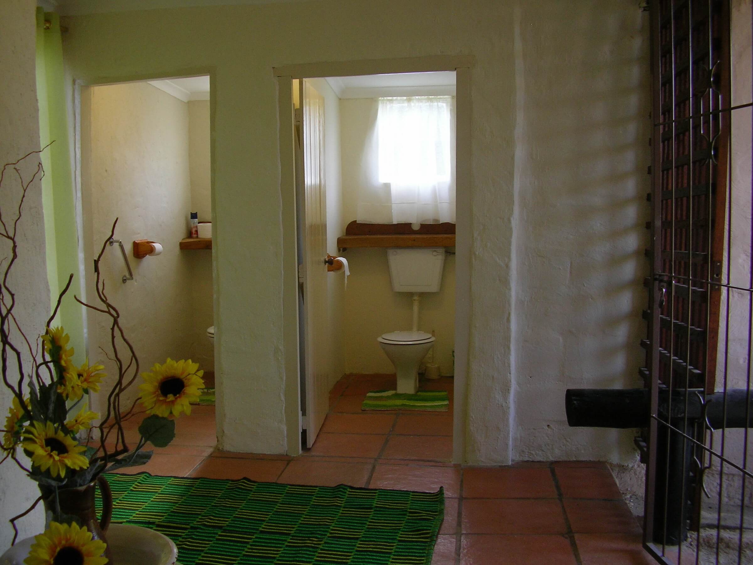
• Our ablution blocks are clean, and we also have dishwashing facilities available.
• You will find our onsite Bull & Spier Restaurant on site.
• Grassed caravan sites with braai’s, all with electricity points.
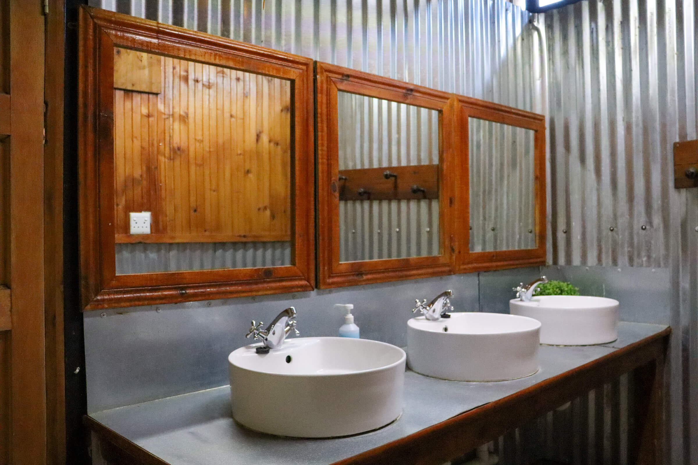
• Two ablution blocks available: • Old ablution (behind office/restaurant) Unisex: Two toilets, one bath and one shower.
• New ablution (bottom of caravan park) Ladies: Two showers plus three toilets. Men: Two showers, two toilets plus two urinals

ACTIVITIES:
HIKING TRAILS:
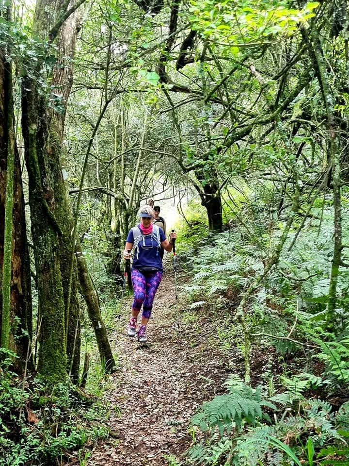
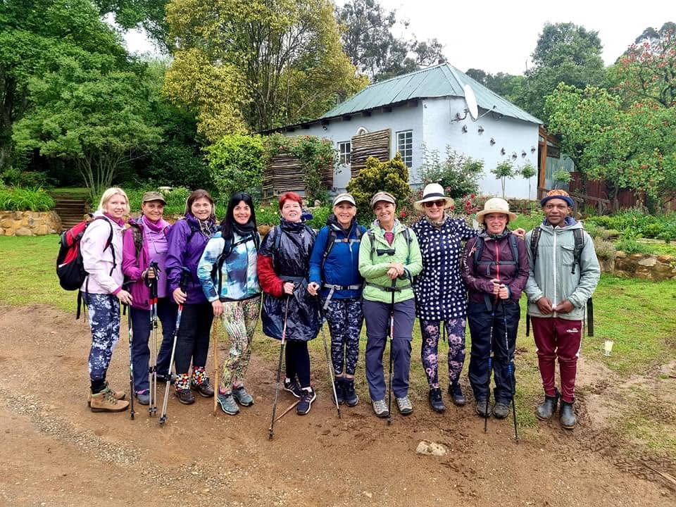
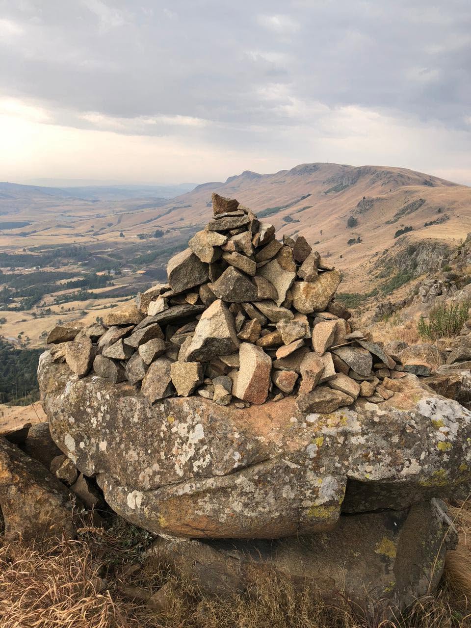
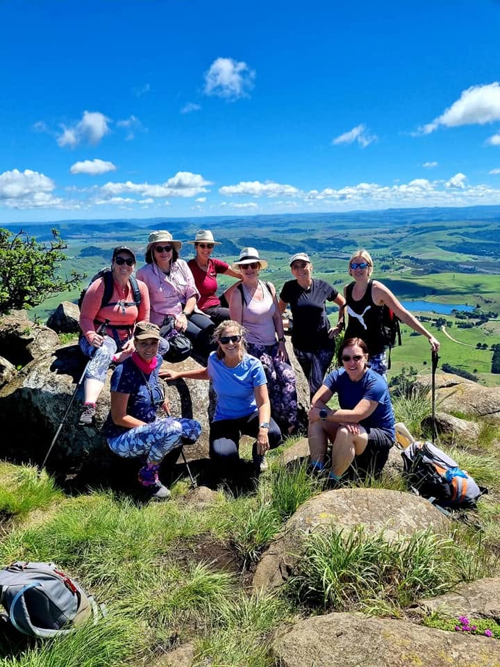
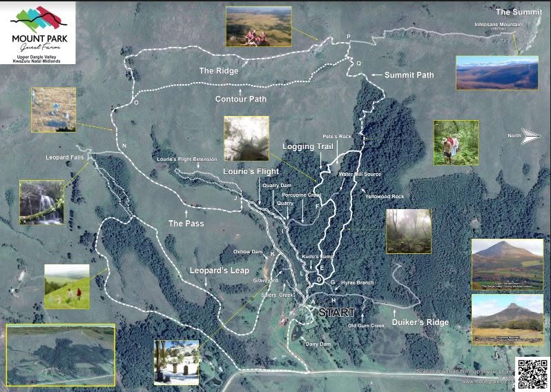
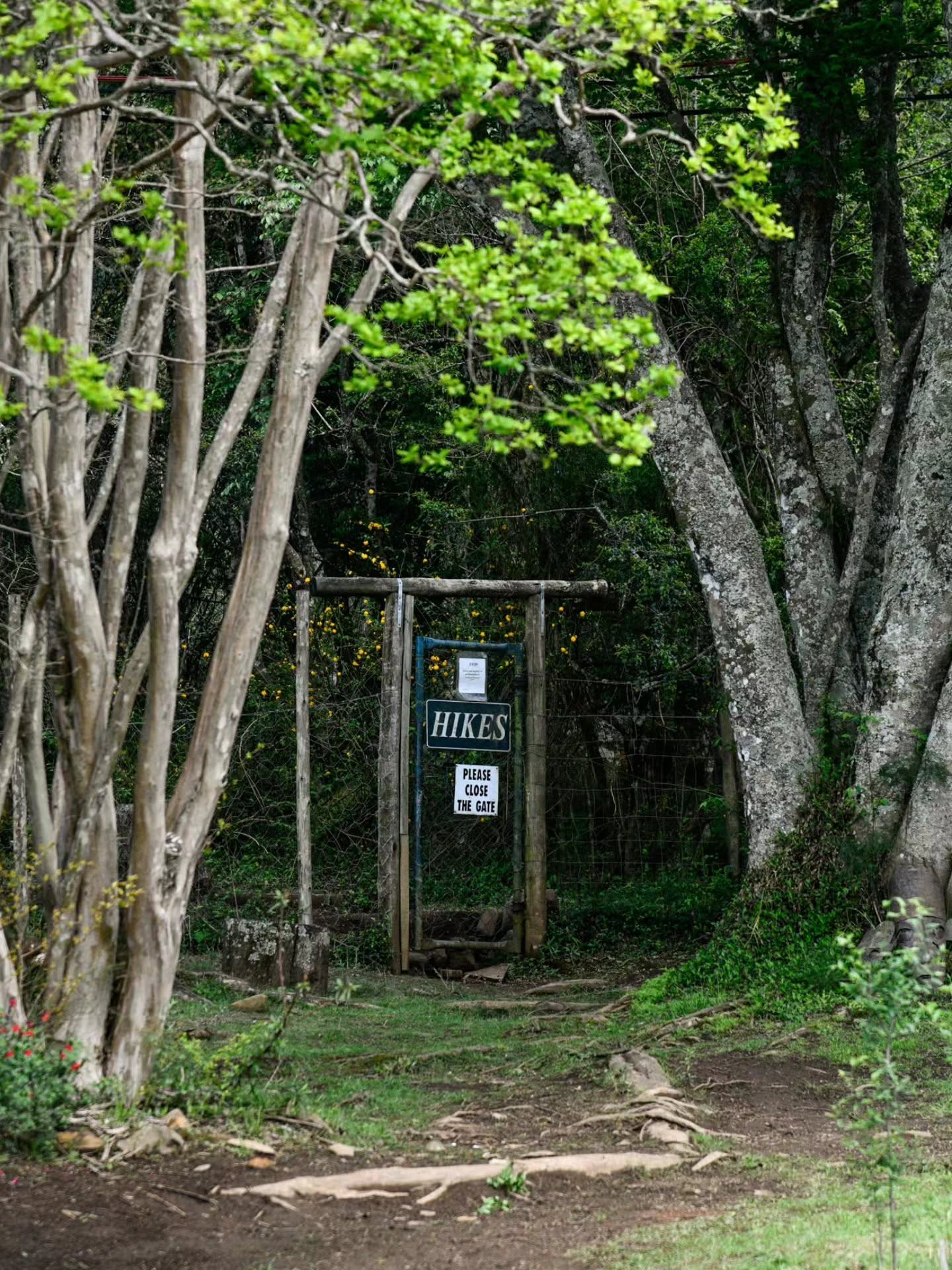
DUIKERS RIDGE:
• Type: Dead End Marked: One way
• Rate: One short steep section
• Time: 40 minutes return
• Distance: 1.45km
• Elevation Gain: 65 meters
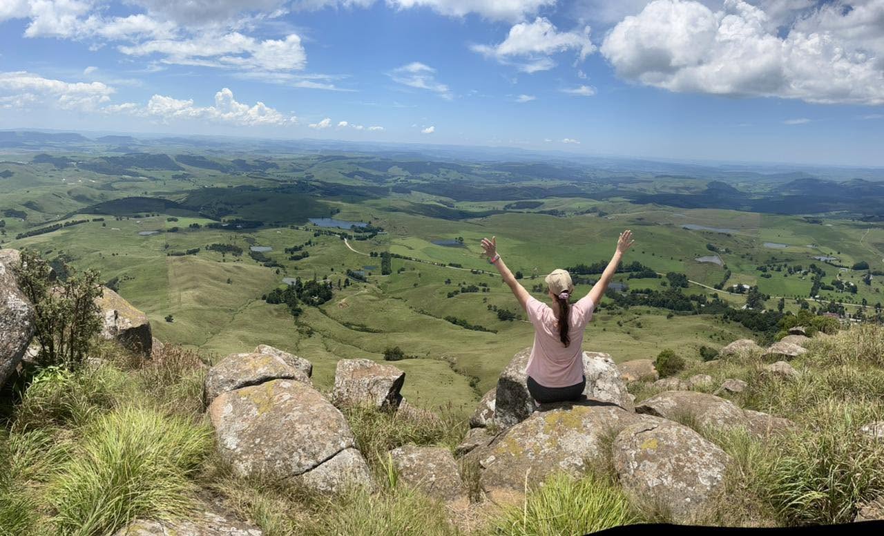
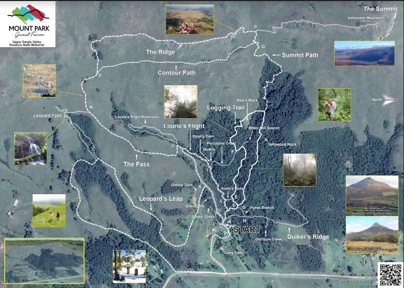
• Short description: This is a nice short trail that leads up through the forest, onto a grassland plateau and up again into an Ouhout forest to a viewpoint.
HYRAX and LOGGING TRAIL:
• Type: Circular Marked: Clockwise
Rate: Steep sections
• Time: +-40 minutes Distance: 1.8km
• Elevation Gain: 134 meters
• Short description This trail starts from the garden gate and heads up the stream through the forest to Pete’s Lookout (which is an open piece of grassland on the edge of the forest about a quarter way up the mountain with a wonderful view), from here it crosses over the grassland back into the forest on the other side and one can either Summitt or come back down following the actual old logging trail back to the homestead.
LOURIES FLIGHT:
• Type: Circular Marked: One-way Anti Clockwise
Rate: Easy, boulder hopping over streams
• Time: +-40 minutes
• Distance: 1.04km
• Elevation Gain: 64 meters
• Short description: This path leads up the Oak tree stream to the quarry, quarry dam and louries cascades through the forest.
LOURIES GLIDE:
• Type: Circular Marked: One-way clockwise
Rate: A bit more difficult than Louries Glide
• Time: 30min
• Distance: 700m
• Elevation Gain: 55m
• Short description: This path continues up the Oak Tree Stream past the Louries Cascades and follows the stream higher up the mountain in the forest.
LEOPARDS LEAP:
• Type: Circular Marked: Anti clockwise
Rate: Reasonably easy
• Time: +-50 minutes
• Distance: 3km
• Elevation Gain: 123 meters Falls – From T inside Forest – 700m Elevation Gain 151m
• Short description: This walk goes past the graveyard, across Ox-bow dam wall, around the plateau and up the hill and through a smaller forest and back down to the homestead, on mostly farm tracks.
THE PASS:
• Type: One way return or continue up to Summit Marked: Upwards
• Rate: Steep
• Time: 1h20 minutes (Return)
• Distance: 1.6km to Gate / 3.2km Return
• Elevation Gain: 272metres
• Short description: The easiest route to the top of range, you can then add to it by continuing along the Ridge or Contour Path to the Summit.
THE SUMMIT:
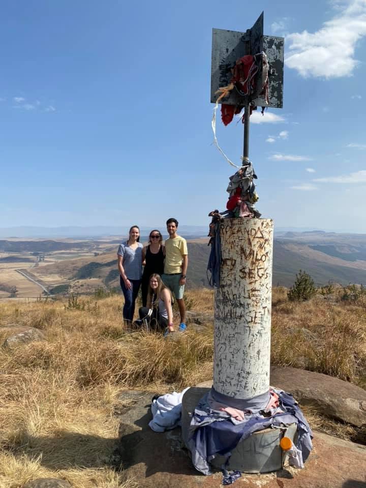
• Height of 1950 meters Via the Hyrax or Logging Trail Type:
• One way Marked: One way
• Rate: Steep
• Time: 2Hours to Summit 1Hours to Return Total 3Hours
• Distance: 2.6km to the Summit 2.4km Return (Via Logging) Total 5km
• Elevation Gain: 455metres Via the Pass Type: One way Marked: One way Rate: Slightly less Steep
• Time: 1H40 minutes via Contour (Add 15min if go Ridge Route) to Summit Not Return Distance: 3.4km (Not Return)
• Elevation Gain: 455metres ADD the Distance of which Route you take down to get total Return Distance
SHORT CUTS:
Eland’s Jump (Junction G & H)
• This links the Duikers Ridge trail to the Loggers trail. It also cuts out the slippery steep climb at the start of Duikers Ridge.
• Kudu’s Jump (Junction L & E) This links the Louries Flight with Hyrax trail. This can make an easy short walk by starting off on Louries and instead of turning left at the end of Kudu’s Jump go right and return on the lower section of Hyrax Trail. This can be taken further by continuing onto the Elands Jump. This will give one a reasonable level walk.
• Porcupine Crawl (Junction I & F) This links Hyrax trail with Louries Flight. It can be used either way. Either a short cut home off the Hyrax trail before the final steep climb to Pete’s rock or as a short cut from the Louries Flight onto Hyrax trail to Pete’s Rock by missing out meandering up the stream on the lower part of the Hyrax.
• This crawl will also take you into the old quarry.
POINTS OF INTEREST ON THE HIKING TRAILS:
• Graveyard – This is the graveyard of the original family of Mount Park, the Spiers. Take note of the spears on the gate and the old Yellowwoods in the yard.
Quarry dam – This is the dam just below the quarry, which supplies water to the garden and cattle troughs. Quarry This is the original quarry used to supply materials to repair the district roads.
Ox-bow Dam and old trench – This is the original dam that use to be fed via channels from the forest streams and used to supply water to run the water mill down by the workshops. The trenches in the forest can still be seen on parts of the Hyrax trail and Porcupine Crawl. The source of this trench can be seen on off loop of Hyrax trail.
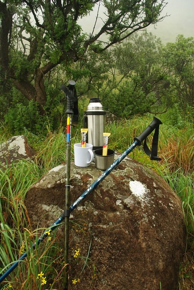
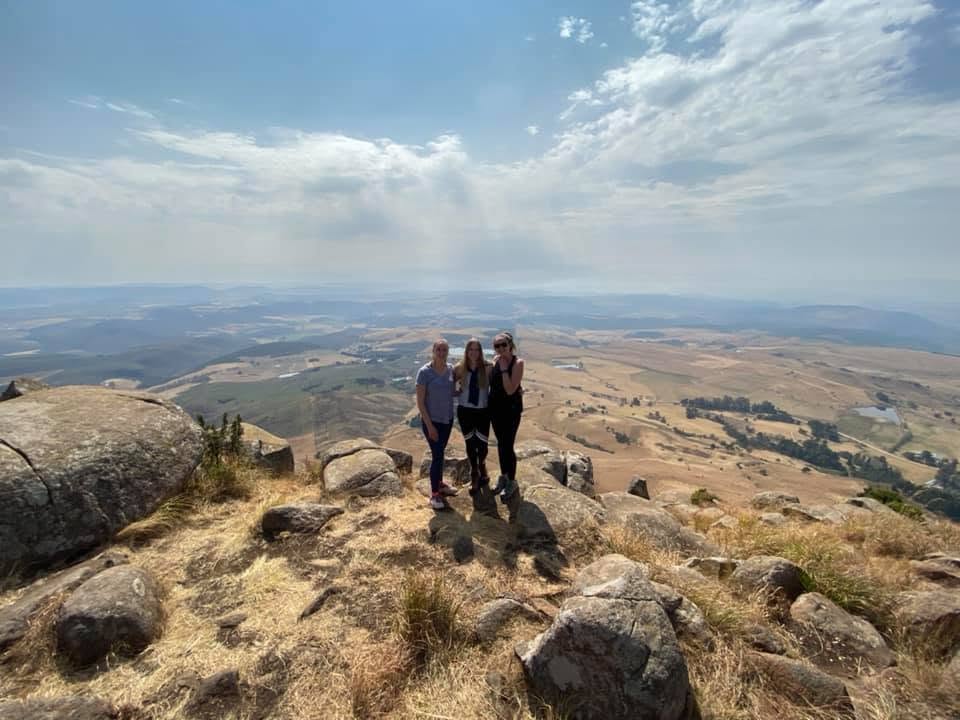
Pete’s Outlook – This is a grass clearing out the forest where Pete use to sit on the rock (who helped with the making of these trails) and used to have his morning coffee and quite time. It is at the top of the Hyrax and Loggers Trail loop and has a real nice view over the farm and countryside.
When Midmar Dam is full you can see it peeping through the distant hills.
Yellowwood Rock – This is also just a small outcrop of rocks that has a small Yellowwood tree growing out of it in the forest, that when stood on allows for a view out the forest.
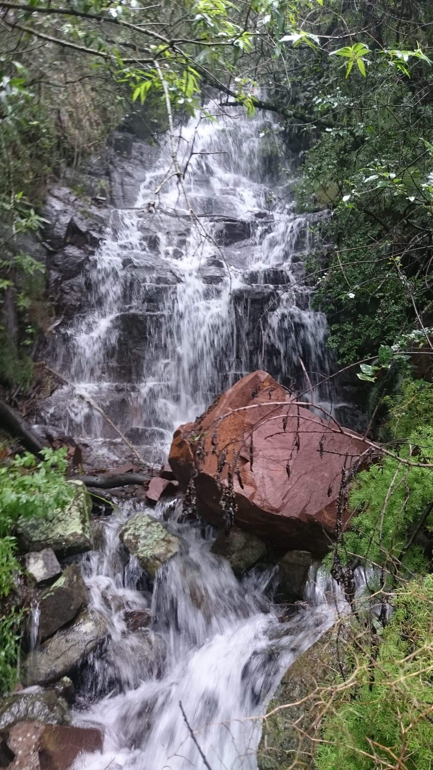
Louries Cascades – A small outcrop of rocks with the Louries stream flowing over. In the wet months it is beautiful.
Louries Glide Cascades- Here the Louries Stream flows down a sloping Rock Formation
Louries Hop Mini Falls – Small Creek with a small 2.5m waterfall which you can stand under when we have had good rains.
Logging trench– Look out for this trench, which was caused by the dragging of logs down the mountain through the forest. It can be seen on the downward section of the Logging trail.
Ingwe (Leopard’s) falls – Just as you enter the leopards leap forest there is a path to your right that takes you up to the Ingwe Falls. There are steep sections where one might need to be on all fours!! (Distance from T is 700m but you climb 151m to bottom of Fall) These falls normally only have a trickle of water – but is beautiful after a wet period. There is a path leading up to the second section of the falls and then continues out onto the top of the falls (This is very Steep and has high Steps to climb, but if fit enough worth the effort)
Falls are about 16m in height– you can then either go back down the same way or follow the path out that will join onto the Pass Trail, which you can follow back down to the Homestead.
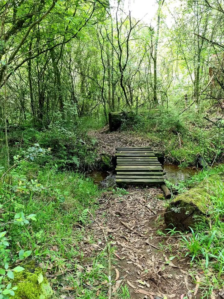
Old Gum Creek – This is a close quite spot in the middle of the forest off the Duikers Ridge, where you will find a bench under a very large old gum tree.
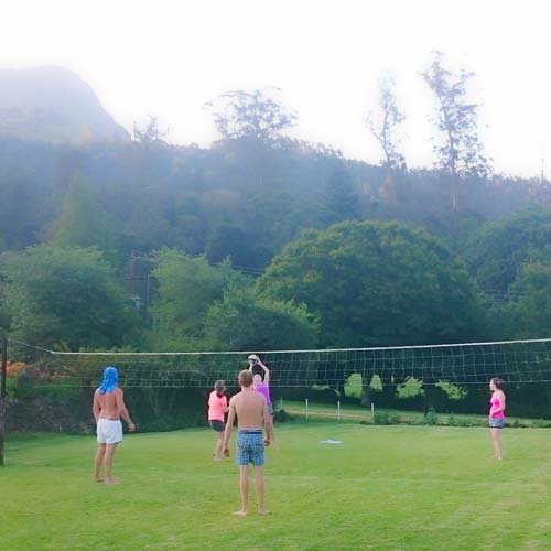
Speirs Creek – Spring & Water Storage This spring was the only supply of water to the homestead. This is the source of the Speirs Stream – a spring coming out of the bank that’s situated just below the Graveyard, where the water is collected into another smaller storage bath. The water from this is then piped down to a larger storage tank, from where it is then fed to the homestead. This system was used right up to about 1995 – when due to a bad drought a borehole was dug on the side of the volleyball court. It is still able to function if connected
In the Midlands & Beyond:
Visit Howick Falls
Visit Fort Nottingham Museum
Explore Umgeni Valley Nature Reserve
Karkloof Canopy Tours
Arts & Crafts on the Midlands Meander
Karkloof Market every Saturday
Experience the culinary excellence at the many Restaurants in the area
Visit the Nelson Mandela Capture Site
Picnic at Midmar Dam
Book a Sani Pass Tour
Ziplining
Go Karting
Hot Air Ballooning
Wildlife Golf
Craft Beer